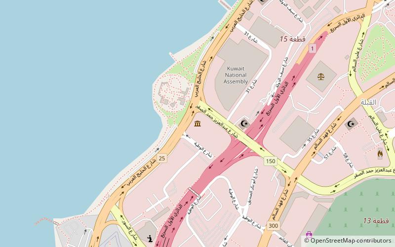
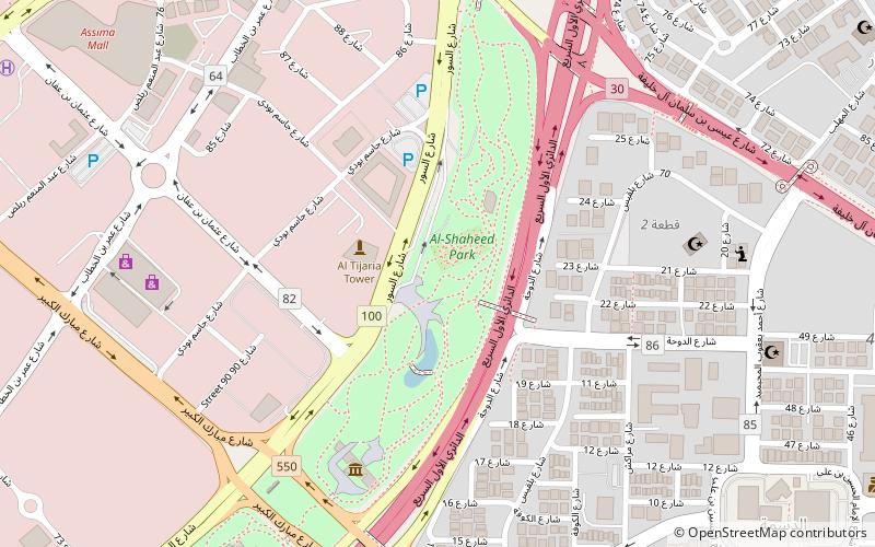
Trek Zone

Safat, Kuwait City

#32 among attractions in Kuwait City

Sightseeing
Safat location map
Map

Facts and practical information
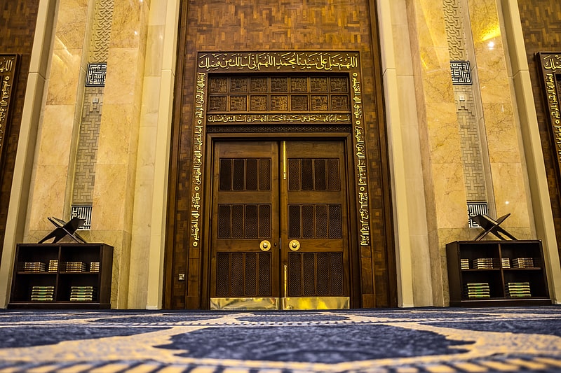
Local name: ساحة الصفاةCoordinates: 29°22'17"N, 47°58'25"E
Address

العاصمه‎ (القبلة)Kuwait City Kuwait

ContactAdd
Social media
Add
Day trips

Safat – popular in the area (distance from the attraction)

Nearby attractions include: Grand Mosque, Dar al Athar al Islamiyyah, Al Salam Palace, Liberation Tower.

  • grand mosque kuwait city0.6 miN
  • dar al athar al islamiyyah kuwait city location map
    0.7 miW
  • al salam palace kuwait city1.6 miSW
  • liberation tower kuwait city~1290 ftS
  • seif palace kuwait city0.7 miN
  • holy family cathedral kuwait city1 miSW
  • kuwait national museum kuwait city0.4 miW
  • sadu house kuwait city0.4 miNW
  • al shaheed park kuwait city location map
    1.2 miE
  • al hamra tower kuwait city1.3 miNE
  • arraya tower kuwait city1.1 miE

Frequently Asked Questions (FAQ)

Which popular attractions are close to Safat?

Nearby attractions include Kuwait Science and Natural History Museum, Kuwait City (6 min walk), Liberation Tower, Kuwait City (7 min walk), Imam Baqir Mosque, Kuwait City (9 min walk), Imam Hussein Mosque, Kuwait City (9 min walk).

Where to next? Visit al kuwayt Al Kuwayt region page or discover the top tourist attractions in Kuwait.