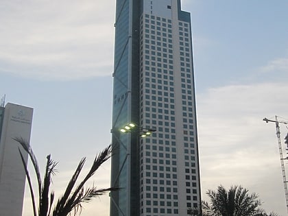
Jibla, Kuwait City
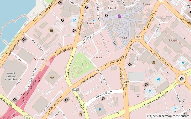
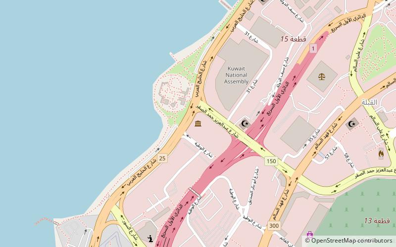
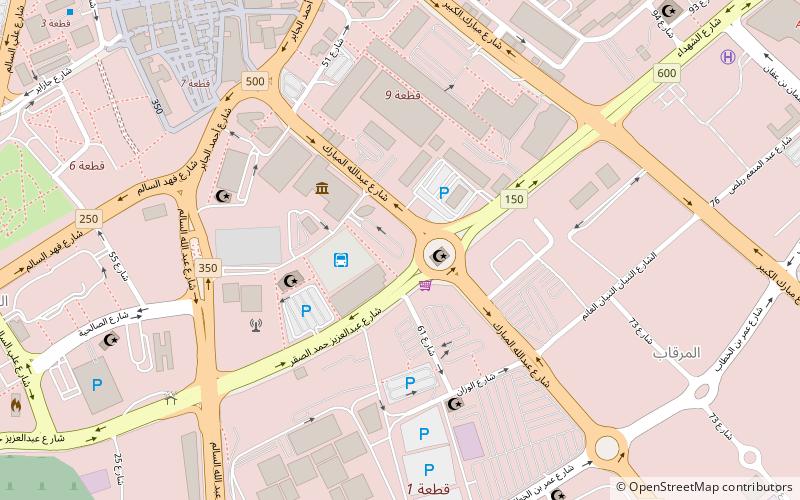
Map
Facts and practical information
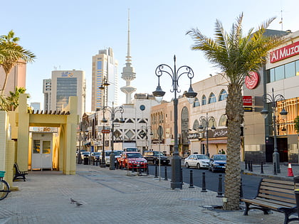
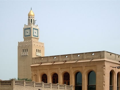
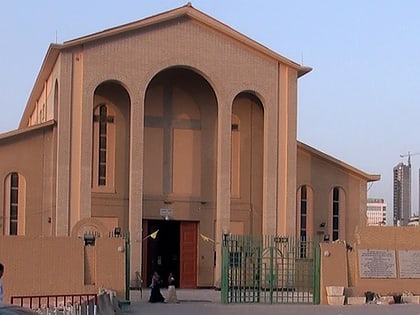
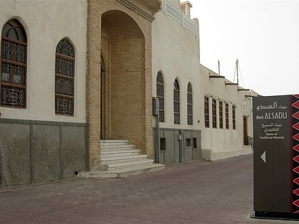
Jibla is a historic area of Kuwait City. It is one of Kuwait's oldest neighbourhoods, although most pre-oil buildings were demolished. The area forms the bulk of the core of modern-day Kuwait City, along with Sharq, Mirgab, and Dasman. ()
Coordinates: 29°22'16"N, 47°58'17"E
Address
العاصمه (القبلة)Kuwait City
ContactAdd
Social media
Add
Day trips
Jibla – popular in the area (distance from the attraction)
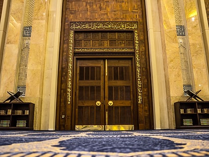
Nearby attractions include: Grand Mosque, Dar al Athar al Islamiyyah, Al Salam Palace, Liberation Tower.
Frequently Asked Questions (FAQ)
Which popular attractions are close to Jibla?
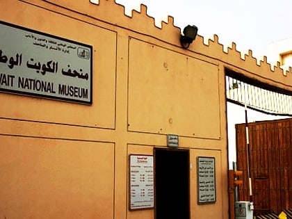
Nearby attractions include Kuwait National Museum, Kuwait City (8 min walk), Liberation Tower, Kuwait City (8 min walk), Kuwait Science and Natural History Museum, Kuwait City (9 min walk), National Library of Kuwait, Kuwait City (9 min walk).
