Tian Shan
Map

Gallery

Facts and practical information
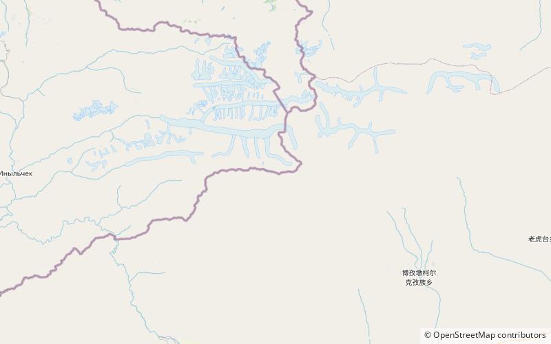
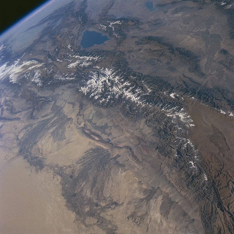
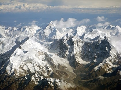
The Tian Shan, also known as the Tengri Tagh or Tengir-Too, (Old Turkic: 𐰴𐰣 𐱅𐰭𐰼𐰃; Uighur: تەڭرىتاغ; Chinese: 天山; Kyrgyz: Теңир-Тоо, romanised: Tengir-Tağ = Tanrı Dağları in Turkish) meaning the Mountains of Heaven or the Heavenly Mountain, is a large system of mountain ranges located in Central Asia. The highest peak in the Tian Shan is Jengish Chokusu, at 7,439 metres high. Its lowest point is the Turpan Depression, which is 154 m below sea level. ()
Local name: Теңир-Тоо Maximum elevation: 24406 ftElevation: 24406 ftCoordinates: 42°2'15"N, 80°7'30"E
Location
Issyk Kul
ContactAdd
Social media
Add
Day trips
Tian Shan – popular in the area (distance from the attraction)
Nearby attractions include: Jengish Chokusu.

