Iron Bridge, Riga
Map
Map

Facts and practical information
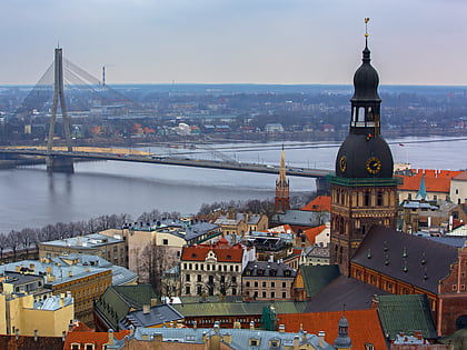
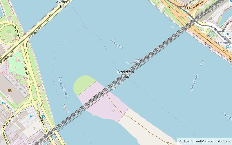
The Iron Bridge or Semigallia Bridge was a bridge that crossed the Daugava river in Riga, the capital of Latvia. It was built in 1871–72. The bridge was bombarded twice, during World War I and World War II, and was not rebuilt after the last war. The only remains of the bridge are its pillars in the river. ()
Address
Zemgales (Salas)Riga
ContactAdd
Social media
Add
Day trips
Iron Bridge – popular in the area (distance from the attraction)
Nearby attractions include: St. Peter's Church, Riga Central Market, Triangula Bastion, Riga Cathedral.
Frequently Asked Questions (FAQ)
Which popular attractions are close to Iron Bridge?
Nearby attractions include Railway Bridge, Riga (1 min walk), 1905 Bloody Sunday Monument, Riga (6 min walk), Akmens tilts, Riga (7 min walk), Dannenstern House, Riga (8 min walk).
How to get to Iron Bridge by public transport?
The nearest stations to Iron Bridge:
Trolleybus
Bus
Tram
Train
Trolleybus
- Nacionālā bibliotēka • Lines: 27 (6 min walk)
- 11. novembra krastmala • Lines: 27, 9 (8 min walk)
Bus
- 11. novembra krastmala • Lines: 10, 21, 22, 23, 25, 26, 3, 32, 322, 338, 344, 346, 363, 370, 371, 38, 39, 4, 43, 54, 55, 7, 8 (8 min walk)
- Nacionālā bibliotēka • Lines: 10, 21, 22, 23, 25, 26, 3, 32, 322, 338, 344, 346, 363, 370, 371, 38, 39, 4, 43, 54, 55, 7, 8 (8 min walk)
Tram
- Grēcinieku iela • Lines: 1, 10, 2, 5 (8 min walk)
- Central Market • Lines: 3, 7 (9 min walk)
Train
- Rīga-Pasažieru (20 min walk)
- Torņakalns (22 min walk)


