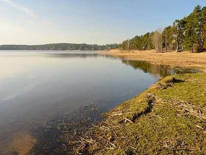
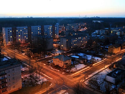
Juglas Lake, Riga
Map
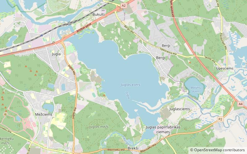
Map

Facts and practical information
Local name: Juglas ezers Area: 2.2 mi²Length: 2.86 miMaximum depth: 16 ftElevation: -7 ft b.s.l.Coordinates: 56°58'46"N, 24°16'49"E
Address
Vidzemes (Berģi)Riga
ContactAdd
Social media
Add
Day trips
Juglas Lake – popular in the area (distance from the attraction)
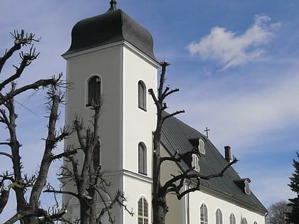
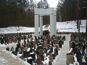
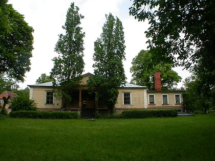
Nearby attractions include: Latvian Ethnographic Open Air Museum, Riga Motor Museum, St. Catherine's Lutheran Church, Church of the Cross.
Frequently Asked Questions (FAQ)
Which popular attractions are close to Juglas Lake?
Nearby attractions include Latvian Ethnographic Open Air Museum, Riga (21 min walk), Berģi, Riga (23 min walk).
How to get to Juglas Lake by public transport?
The nearest stations to Juglas Lake:
Bus
Trolleybus
Bus
- Zvēraudzētava • Lines: 14 (19 min walk)
- Tadenavas iela • Lines: 1 (20 min walk)
Trolleybus
- Jugla • Lines: 4 (25 min walk)
- Murjāņu iela • Lines: 4 (30 min walk)
