Ski Centre Žagarkalns, Gauja National Park
Map
Map

Facts and practical information
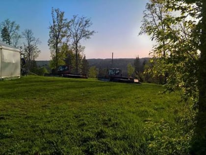
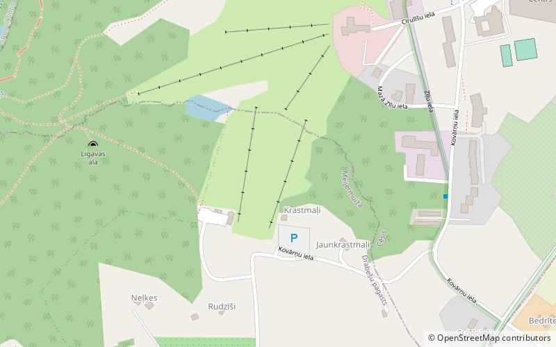
Ski Centre Žagarkalns (address: Cīrulīšu 70) is a place located in Gauja National Park (Vidzeme province) and belongs to the category of winter sport, ski piste.
It is situated at an altitude of 295 feet, and its geographical coordinates are 57°17'54"N latitude and 25°13'43"E longitude.
Among other places and attractions worth visiting in the area are: Slēpošanas un atpūtas parks Ozolkalns (park, 10 min walk), Svētavots Nature Park and Holy Spring, Cēsis (park, 11 min walk), Cēsis Castle, Cēsis (park, 48 min walk).
Coordinates: 57°17'54"N, 25°13'43"E
Address
Cīrulīšu 70Gauja National Park
ContactAdd
Social media
Add
Day trips
Ski Centre Žagarkalns – popular in the area (distance from the attraction)
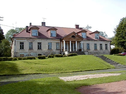
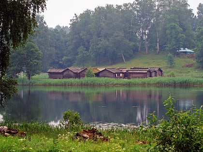
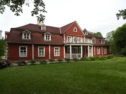
Nearby attractions include: Cēsis Castle, Drabeši Manor, Āraiši lake dwelling site, Ungurmuiža Manor.
Frequently Asked Questions (FAQ)
Which popular attractions are close to Ski Centre Žagarkalns?
Nearby attractions include Slēpošanas un atpūtas parks Ozolkalns, Gauja National Park (10 min walk), Svētavots Nature Park and Holy Spring, Cēsis (11 min walk).


