Kaučers Protected Landscape

Map
Facts and practical information
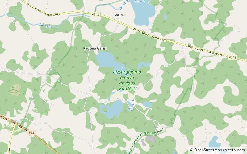
Kaučers Protected Landscape is located in Rušona Parish, Preiļi Municipality in the Latgale region of Latvia. The area is named after Lake Kaučers, which is located in the center of the protected area. There are six other lakes in the protected area: Lake Baiba, Esereits, Limins, Meirauka, Salmejs and Lake Stupon. The state highway V742 passes through the northern part of the territory. Next to it is Gaiļmuiža. This is an Natura 2000 site. ()
Elevation: 495 ft a.s.l.Coordinates: 56°16'3"N, 26°51'50"E
Location
Latgale
ContactAdd
Social media
Add
Day trips
Kaučers Protected Landscape – popular in the area (distance from the attraction)
Nearby attractions include: Preiļi Palace, Preiļi.

