Imanta, Riga
Map

Gallery

Facts and practical information
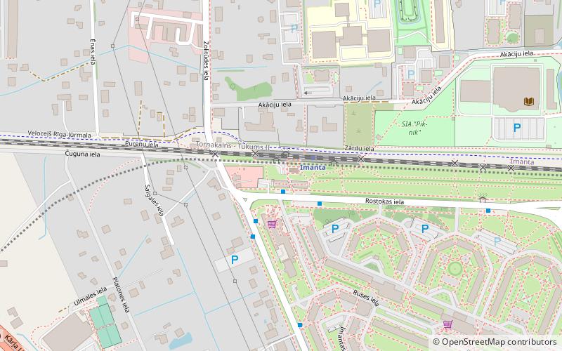
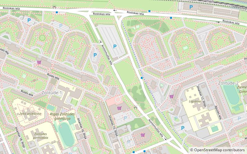
Imanta is a neighbourhood on the western edge of Riga, Latvia. The neighbourhood's northern border is Kurzeme Prospekts; and in the south, Imanta is separated from the newer Zolitūde neighbourhood by the Riga railroad. Prior to development, the region consisted largely of pine forests, sections of which have been preserved in Anninmuiza Park in the center of Imanta, and the Kleistu forest to its north. ()
Address
Zemgales (Zolitūde)Riga
ContactAdd
Social media
Add
Day trips
Imanta – popular in the area (distance from the attraction)
Nearby attractions include: SIA "Pik-nik", Ziepniekkalns, Zolitūde, Sudrabkalniņš.
Frequently Asked Questions (FAQ)
Which popular attractions are close to Imanta?
Nearby attractions include Ziepniekkalns, Riga (1 min walk), SIA "Pik-nik", Riga (5 min walk), Zolitūde, Riga (12 min walk), Kulturas Centrs Imanta, Riga (24 min walk).
How to get to Imanta by public transport?
The nearest stations to Imanta:
Bus
Train
Tram
Bus
- Zolitūdes iela • Lines: 341, 346, 36, 363, 4, 44, 46, 53, 56, 8 (6 min walk)
- Rostokas iela • Lines: 341, 363, 44, 46, 53, 56, 8 (2 min walk)
Train
- Imanta (2 min walk)
- Zolitūde (22 min walk)
Tram
- Anniņmuižas bulvāris • Lines: 1 (24 min walk)
- Dammes iela • Lines: 1 (24 min walk)


