Pleskodāle, Riga
Map
Facts and practical information
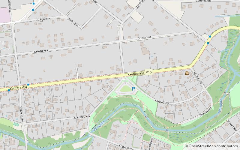
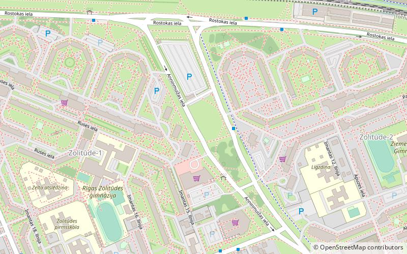
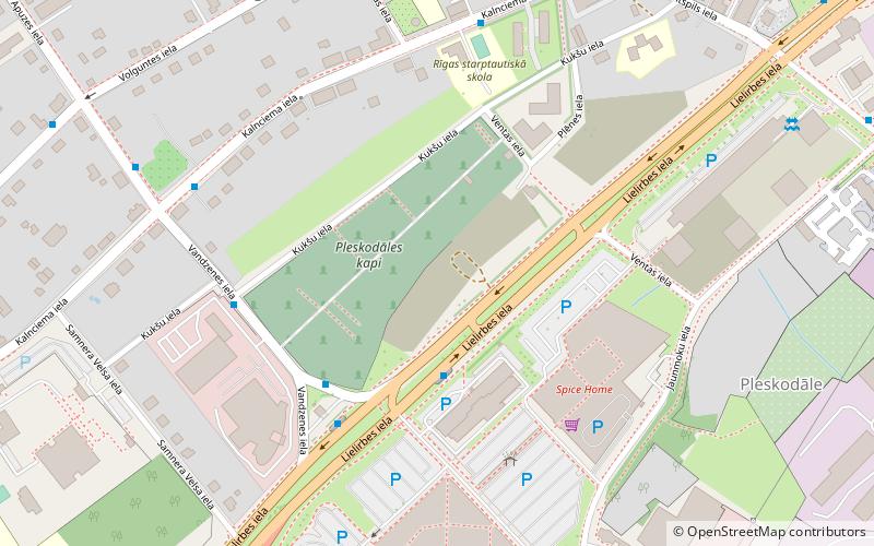
Pleskodāle is a neighbourhood of Riga consisting mostly of private houses on the western side of the city. It borders the Zolitūde and Šampēteris neighbourhoods. ()
Coordinates: 56°55'57"N, 24°2'11"E
Day trips
Pleskodāle – popular in the area (distance from the attraction)
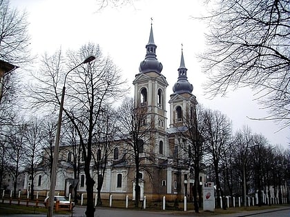
Nearby attractions include: Kalnciema iela, St. Albert's Church, Āgenskalns, Zasulauks.
Frequently Asked Questions (FAQ)
Which popular attractions are close to Pleskodāle?
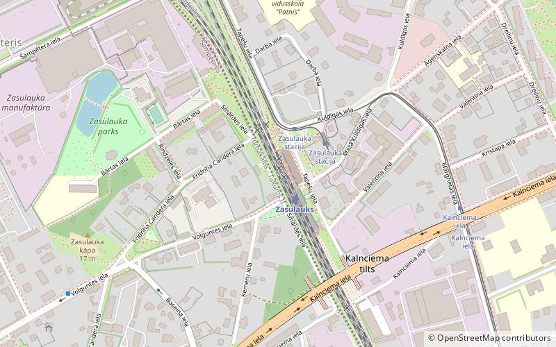
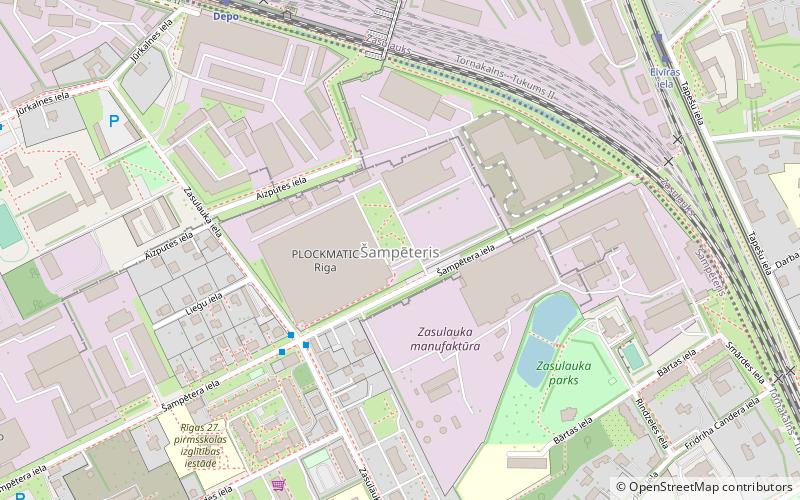
Nearby attractions include Šampēteris, Riga (21 min walk), Zasulauks, Riga (22 min walk).
How to get to Pleskodāle by public transport?
The nearest stations to Pleskodāle:
Bus
Train
Tram
Trolleybus
Bus
- Kukšu iela • Lines: 336, 341 (3 min walk)
- Kalnciema iela • Lines: 336, 341, 53 (5 min walk)
Train
- Zasulauks (22 min walk)
- Depo (25 min walk)
Tram
- Zasulauka stacija • Lines: 2 (23 min walk)
- Ormaņu iela • Lines: 2 (24 min walk)
Trolleybus
- Āgenskalna priedes • Lines: 12 (31 min walk)
- Āgenskalna iela • Lines: 12, 25, 9 (35 min walk)

