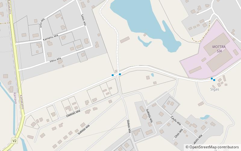
Katlakalns, Riga
Map
Facts and practical information
Katlakalns is a neighbourhood of Riga, the capital of Latvia. It is linked to Ķengarags and Maskavas forštate by the Southern Bridge erected in 2004-2008 and opened on November 17, 2008. ()
Area: 60 mi²Coordinates: 56°53'0"N, 24°10'60"E
Getting there by public transportation
Public transportation stops near this location
- Bus
 Bus
Bus
- Calculate routeDzelzskalni 1 min walk
- Calculate routeKalnavoti 7 min walk
- Calculate routeKatlakalns 10 min walk
Day trips


Frequently Asked Questions (FAQ)
How to get to Katlakalns by public transport?
The nearest stations to Katlakalns:
Bus
Bus
- Dzelzskalni • Lines: 26 (1 min walk)
- Kalnavoti • Lines: 26 (7 min walk)