Rue Clemenceau, Beirut
Map
Facts and practical information
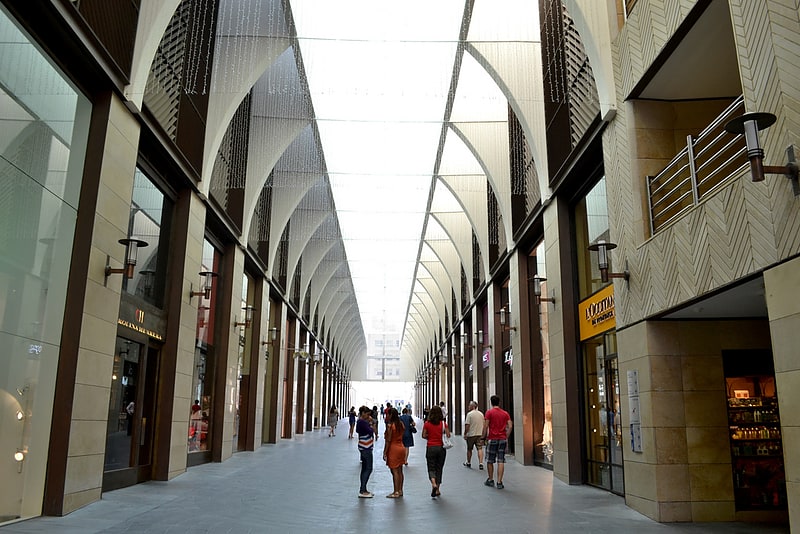
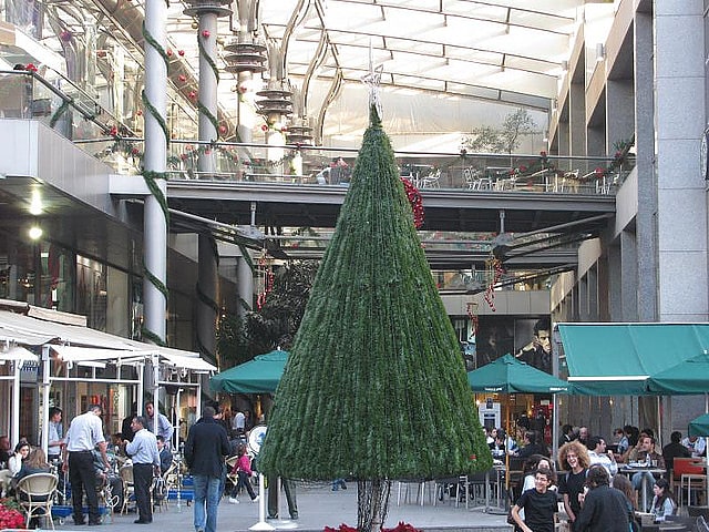
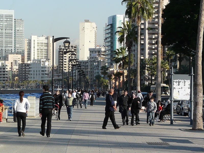
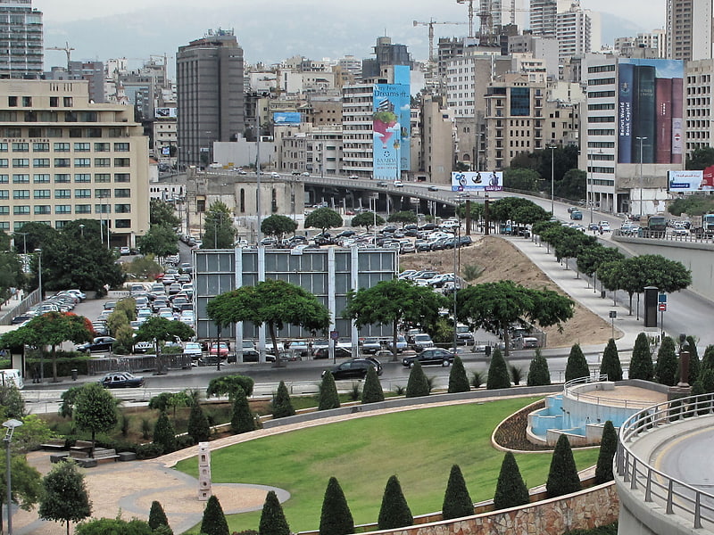
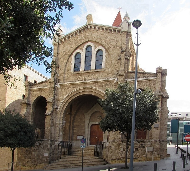
Rue Clemenceau is a commercial and residential street in Beirut, Lebanon. The street was named in honor of Georges Clemenceau who accepted the post of premier of France in 1917 during World War I. The neighborhood straddling Clemenceau Street was prior to the war one of the most cosmopolitan areas of the city and home to Christians, Muslims, Druze and Jews. ()
Address
Rue ClemenceauBeirut
ContactAdd
Social media
Add
Getting there by public transportation
Public transportation stops near this location
- Bus
 Bus
Bus
- Calculate routeWardieh 5 min walk
- Calculate routeBus 12, 24 to Cola 6 min walk
- Calculate routeAl-Wardiyya 7 min walk
- Calculate routeAin el-Mreisse 8 min walk
Day trips


Frequently Asked Questions (FAQ)
Which popular attractions are close to Rue Clemenceau?
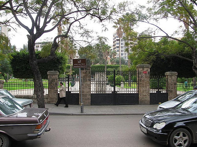
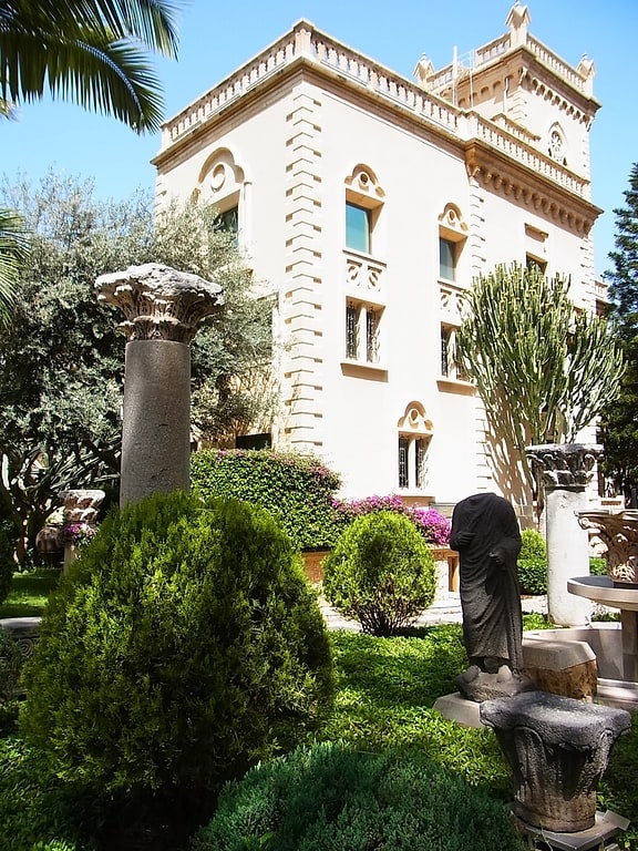
Nearby attractions include Dar El-Nimer for Arts & Culture, Beirut (2 min walk), École supérieure des affaires, Beirut (4 min walk), Sanayeh Park, Beirut (7 min walk), Rue Spears, Beirut (7 min walk).
How to get to Rue Clemenceau by public transport?
The nearest stations to Rue Clemenceau:
Bus
Bus
- Wardieh • Lines: 12 (5 min walk)
- Bus 12, 24 to Cola (6 min walk)