Mount Lebanon

Gallery (2)
Map
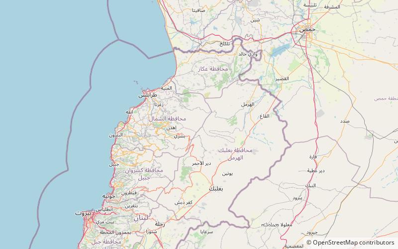
Map
Gallery
Facts and practical information
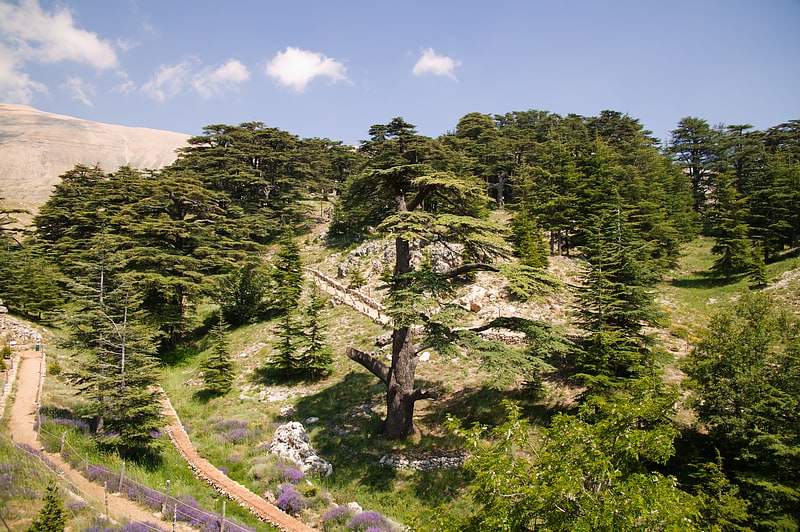
Mount Lebanon is a mountain range in Lebanon. It averages above 2,500 m in elevation, with its peak at 3,088 m. ()
Local name: جبل لبنان Area: 1868.73 mi²Maximum elevation: 10131 ftCoordinates: 34°17'59"N, 36°6'59"E
Location
North
ContactAdd
Social media
Add
Day trips