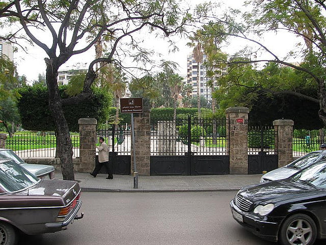
Zuqaq al-Blat, Beirut
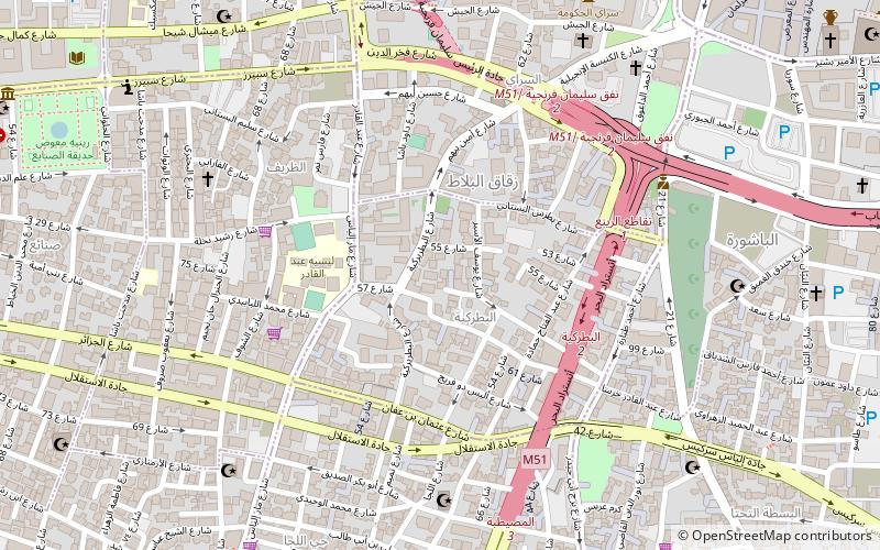
Map
Facts and practical information
Zuqaq al-Blat is one of the twelve quarters of Beirut. ()
Address
Beirut
ContactAdd
Social media
Add
Getting there by public transportation
Public transportation stops near this location
- Bus
 Bus
Bus
- Calculate routeAl-Wardiyya 16 min walk
- Calculate routeBus 12, 24 to Cola 17 min walk
- Calculate routeWardieh 17 min walk
- Calculate routeSodeco 18 min walk
Day trips
Zuqaq al-Blat – popular in the area (distance from the attraction)
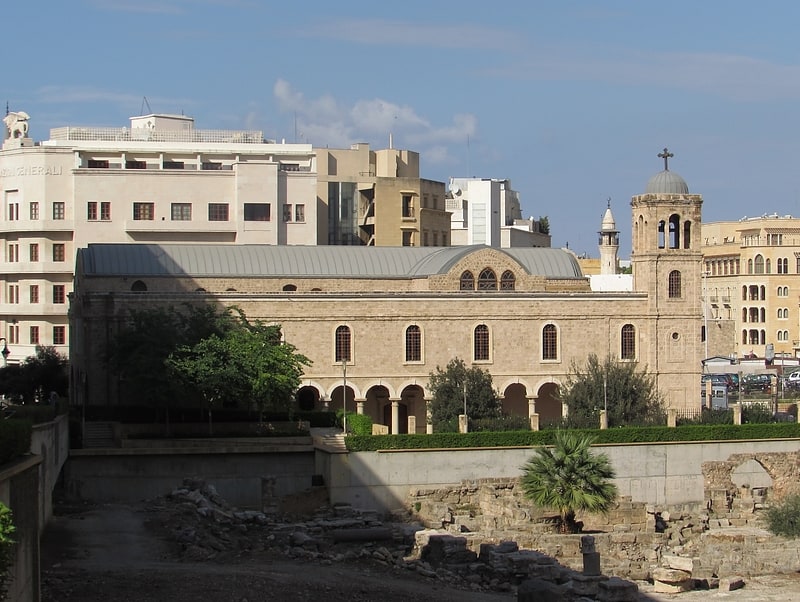
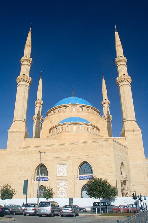
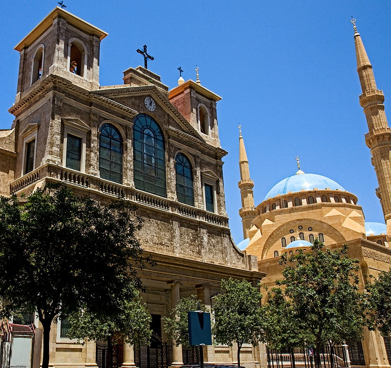
Nearby attractions include: Beirut Souks, Verdun, Saint George Greek Orthodox Cathedral, Mohammad Al-Amin Mosque.

Frequently Asked Questions (FAQ)
Which popular attractions are close to Zuqaq al-Blat?
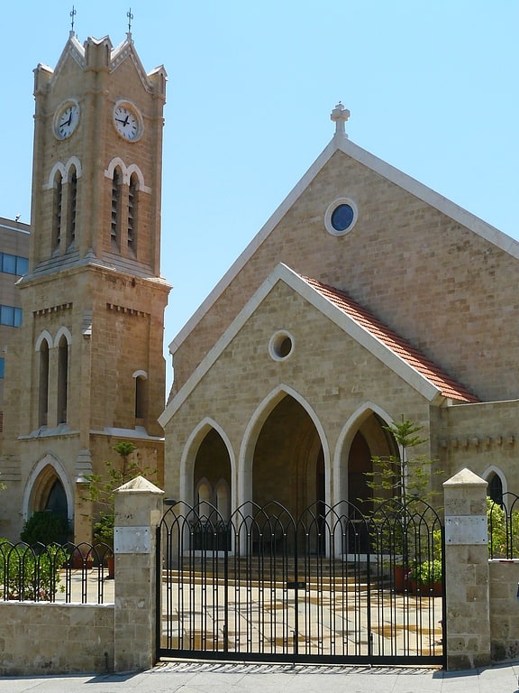
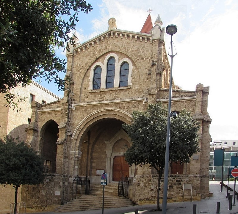
Nearby attractions include Global University, Beirut (3 min walk), Ziade Palace, Beirut (6 min walk), First Armenian Evangelical Church, Beirut (6 min walk), Robert Mouawad Private Museum, Beirut (8 min walk).
How to get to Zuqaq al-Blat by public transport?
The nearest stations to Zuqaq al-Blat:
Bus
Bus
- Al-Wardiyya • Lines: 12, 2, 24 (16 min walk)
- Bus 12, 24 to Cola (17 min walk)