Tell Mekhada
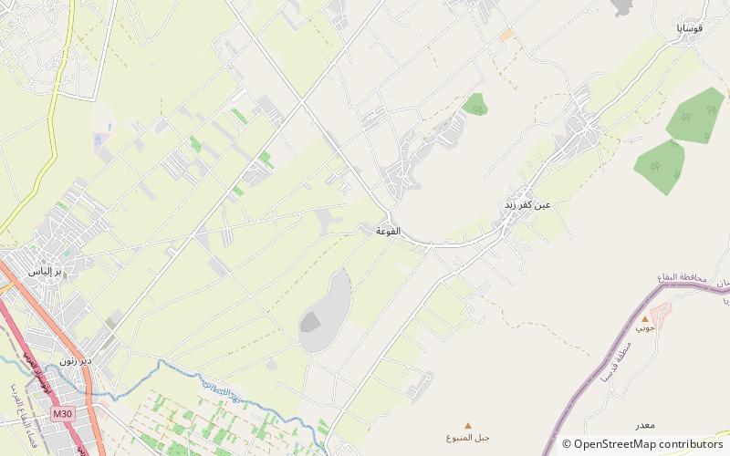
Map
Facts and practical information
Tell Mekhada is an archaeological site 400 m southwest of Nebaa Faour in the Beqaa Mohafazat. It dates at least to the Neolithic. ()
Coordinates: 33°46'51"N, 35°57'50"E
Location
Bekaa
ContactAdd
Social media
Add
Day trips
Tell Mekhada – popular in the area (distance from the attraction)
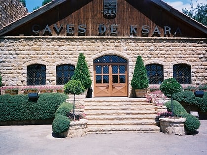
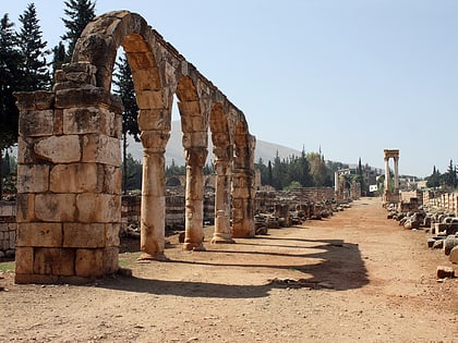
Nearby attractions include: Our Lady of Bekaa, Anjar, Château Ksara, Karak Nuh.


