Achrafieh, Beirut
Map

Gallery

Facts and practical information
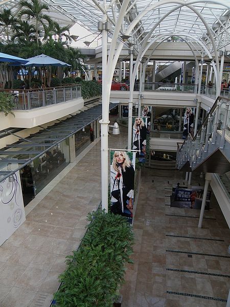
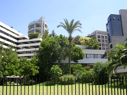
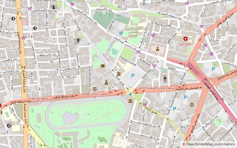
Achrafieh is a upper-class area in eastern Beirut, Lebanon. In strictly administrative terms, the name refers to a sector centred on Sassine Square, the highest point in the city, as well as a broader quarter. In popular parlance, however, Achrafieh refers to the whole hill that rises above Gemmayze in the north and extends to Badaro in the south, and includes the Rmeil quarter. ()
Address
Beirut
ContactAdd
Social media
Add
Day trips
Achrafieh – popular in the area (distance from the attraction)
Nearby attractions include: Beirut Souks, National Museum of Beirut, Mohammad Al-Amin Mosque, Martyrs' Monument.
Frequently Asked Questions (FAQ)
Which popular attractions are close to Achrafieh?
Nearby attractions include Sassine Square, Beirut (1 min walk), American University of Science and Technology, Beirut (6 min walk), Badaro, Beirut (10 min walk), Saint Nicolas Garden, Beirut (10 min walk).
How to get to Achrafieh by public transport?
The nearest stations to Achrafieh:
Bus
Bus
- Sassine Place bus stop • Lines: 2 (1 min walk)
- Mathaf • Lines: 24 (18 min walk)


