Bliss Street, Beirut
Map
Gallery
Facts and practical information
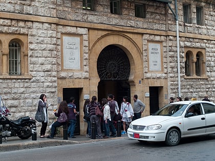
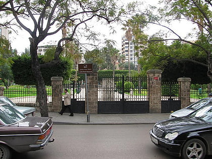
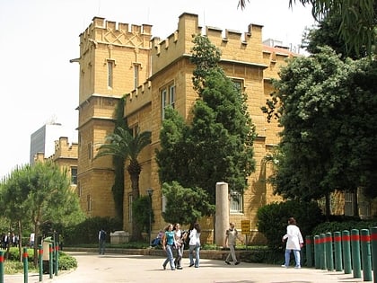
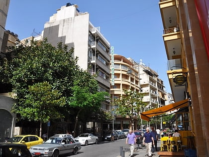
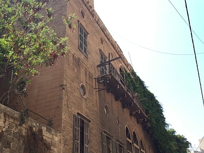
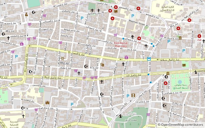
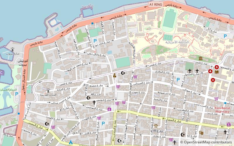
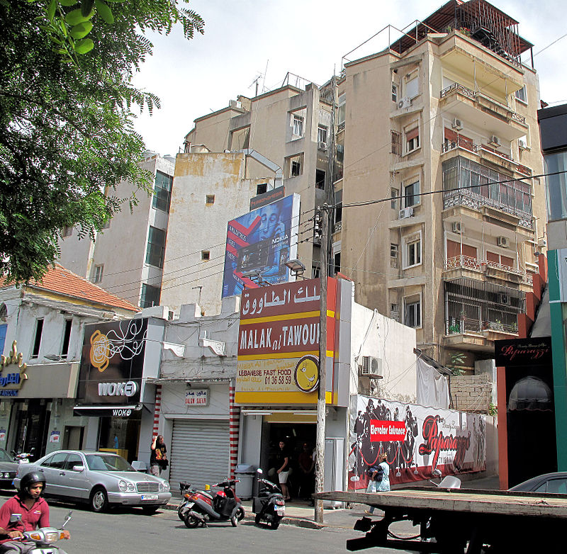
Bliss Street, or Rue Bliss, is one of the principal streets of the Hamra area, which is within the Ras Beirut District of Beirut in Lebanon. The street, which is parallel to Hamra Street, runs east-west, connecting with Rue Clémenceau on the east and ending at Avenue General Charles de Gaulle that runs along the coast of the Mediterranean. ()
Address
Beirut
ContactAdd
Social media
Add
Day trips
Bliss Street – popular in the area (distance from the attraction)
Nearby attractions include: Verdun, Corniche Beirut, Rue Spears, Robert Mouawad Private Museum.
Frequently Asked Questions (FAQ)
Which popular attractions are close to Bliss Street?
Nearby attractions include Lee Observatory, Beirut (6 min walk), Corniche Beirut, Beirut (6 min walk), Mcdonald Aub, Beirut (8 min walk), Manar University of Tripoli, Beirut (8 min walk).
How to get to Bliss Street by public transport?
The nearest stations to Bliss Street:
Bus
Bus
- بحري • Lines: 15 (6 min walk)
- Hamra • Lines: 2 (13 min walk)
