Haret Hreik, Beirut
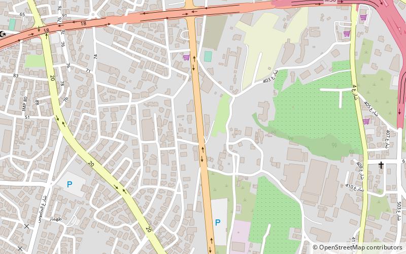
Map
Map

Facts and practical information
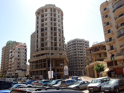
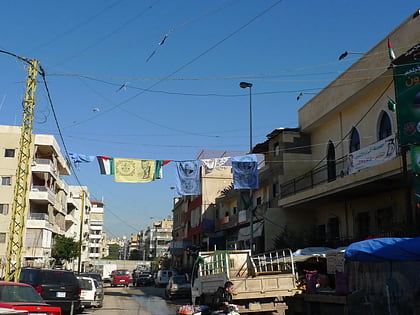
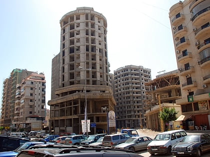
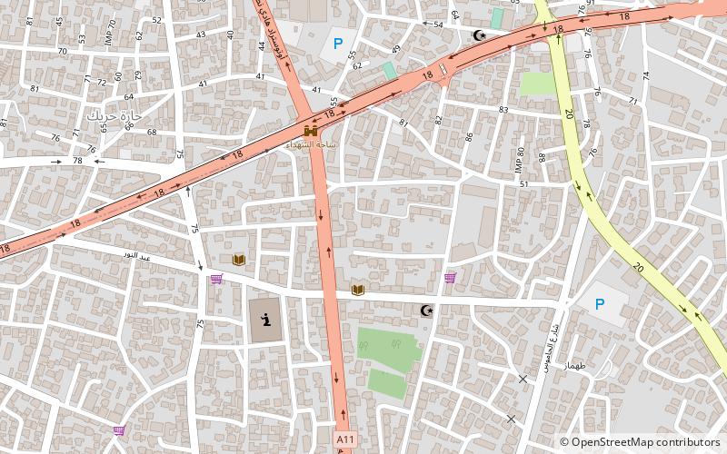
Haret Hreik is a mixed Shia and Maronite Christian municipality, in the Dahieh suburbs, south of Beirut, Lebanon. It is part of the Baabda District. Once an agricultural village, Haret Hreik lost its rural identity due to the wave of refugees from Southern Lebanon who settled in the town and made it another urban neighborhood of Dahieh. ()
Address
Beirut
ContactAdd
Social media
Add
Day trips
Haret Hreik – popular in the area (distance from the attraction)
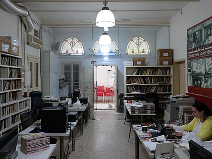
Nearby attractions include: Garden of Forgiveness, Karout Grand Stores, Lebanese Military Museum, Umam Documentation & Research.
Frequently Asked Questions (FAQ)
Which popular attractions are close to Haret Hreik?
Nearby attractions include Karout Grand Stores, Beirut (7 min walk), Southern Suburbs of Beirut, Beirut (13 min walk), Hadeth South, Beirut (17 min walk), Umam Documentation & Research, Beirut (20 min walk).
