Mar Mikhaël, Beirut
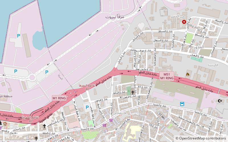
Map

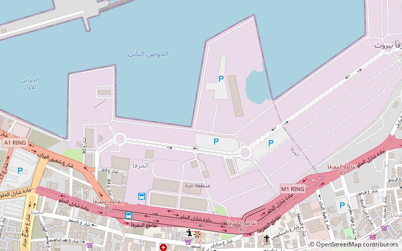
Map

Facts and practical information
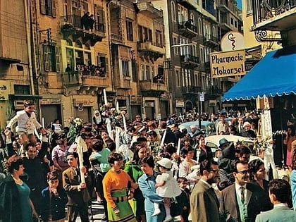
Mar Mikhaël is a residential and commercial upper class neighborhood in the Medawar district of Beirut, Lebanon. It is a fashionable area with cafes, restaurants, art galleries, bakeries and shops. The neighborhood is named after the Maronite Catholic Church of St. Michael, which is located on Rue Pharoun. ()
Coordinates: 33°53'58"N, 35°31'29"E
Address
Beirut
ContactAdd
Social media
Add
Day trips
Mar Mikhaël – popular in the area (distance from the attraction)
Nearby attractions include: Beirut Souks, Saint George Greek Orthodox Cathedral, Mohammad Al-Amin Mosque, Martyrs' Monument.
Frequently Asked Questions (FAQ)
Which popular attractions are close to Mar Mikhaël?
Nearby attractions include Jesuit Garden, Beirut (11 min walk), Rmeil, Beirut (12 min walk), Port of Beirut, Beirut (12 min walk), Sursock Palace, Beirut (16 min walk).
How to get to Mar Mikhaël by public transport?
The nearest stations to Mar Mikhaël:
Bus
Bus
- Mar Mikhaël Bus Station (9 min walk)
- Syria taxi (16 min walk)


