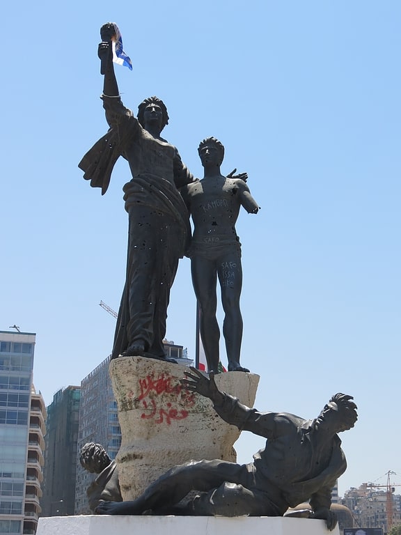
Sands of Beirut, Beirut
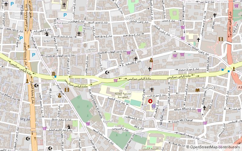
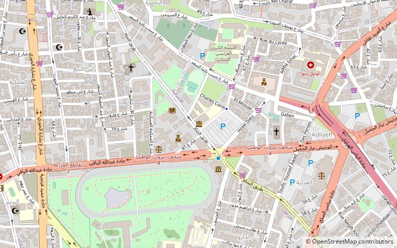
Map
Facts and practical information
Coordinates: 33°53'13"N, 35°30'47"E
Address
Beirut
ContactAdd
Social media
Add
Getting there by public transportation
Public transportation stops near this location
- Bus
 Bus
Bus
- Calculate routeSodeco 7 min walk
- Calculate routeSassine Place bus stop 12 min walk
- Calculate routeMathaf 15 min walk
- Calculate routeCharles Hélou Bus Station 18 min walk
Day trips


Frequently Asked Questions (FAQ)
Which popular attractions are close to Sands of Beirut?
Nearby attractions include Tomb of the Unknown Soldier, Beirut (1 min walk), Khiam detention center, Beirut (1 min walk), Phoenician port of Beirut, Beirut (1 min walk), Jewish cemetery of Beirut, Beirut (6 min walk).
How to get to Sands of Beirut by public transport?
The nearest stations to Sands of Beirut:
Bus
Bus
- Sodeco • Lines: 2 (7 min walk)
- Sassine Place bus stop • Lines: 2 (12 min walk)