Malealea

Gallery (1)
Map
Map
Facts and practical information
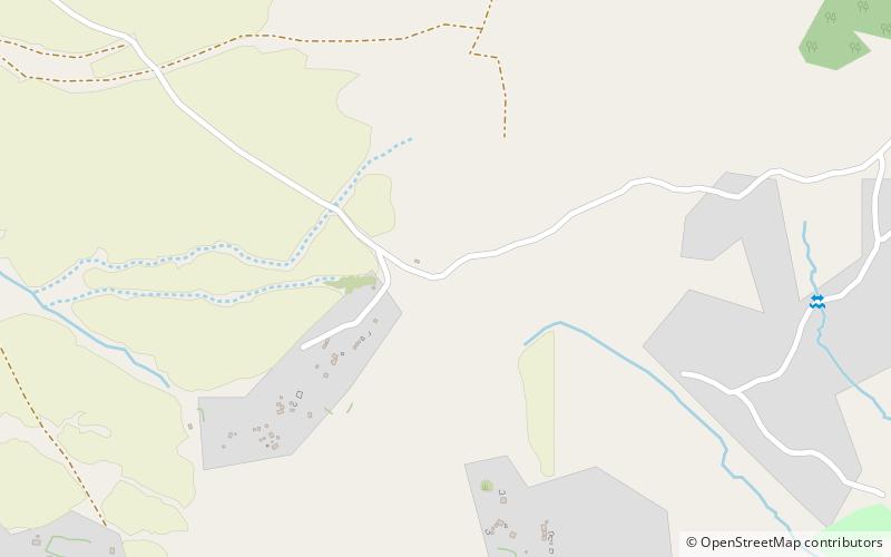
Malealea is a village in the Mafeteng district, roughly 80km from Maseru in southern Lesotho. Located in the Makhaleng valley, ca. 3 kilometers west of the mouth of Botsoela river. The village can be reached from Matelile over 7 km gravel road. The 2006 census counts 613 inhabitants in "Makhomalong " and "Letlapeng " ()
Coordinates: 29°50'51"S, 27°33'6"E
Location
Mafeteng
ContactAdd
Social media
Add