Thaba Putsoa
Map
Facts and practical information
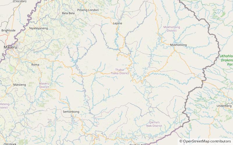
Thaba Putsoa is a mountain in the Maseru District of Lesotho. It lies along the road to the Mohale Dam, approximately 70 kilometres to the southeast of the capital Maseru. The mountain attains a height of 3,096 metres. It is the source of the Orange River. ()
Elevation: 10158 ftCoordinates: 29°33'45"S, 28°32'29"E
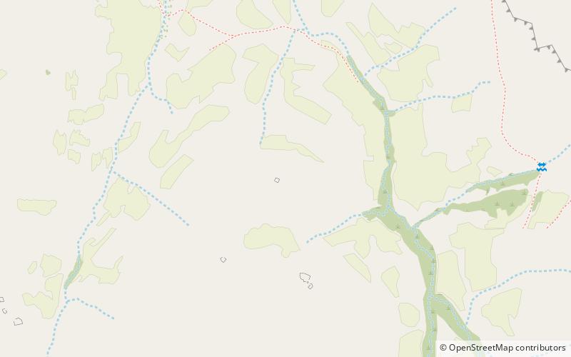
Location
Thaba-Tseka
ContactAdd
Social media
Add
Day trips