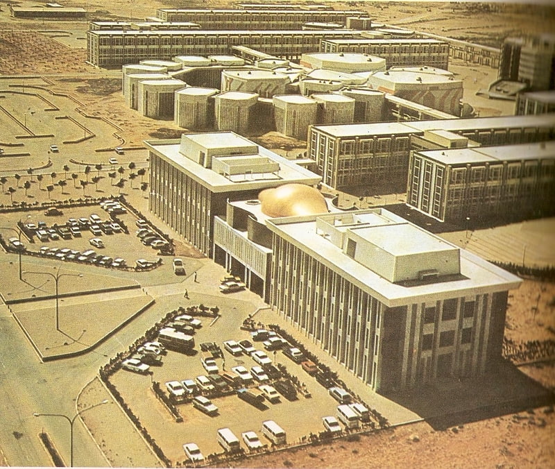
Mfwdyt kshaf bnghazy, Benghazi
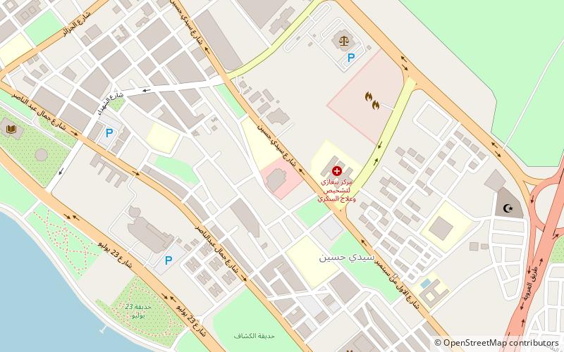
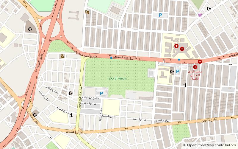
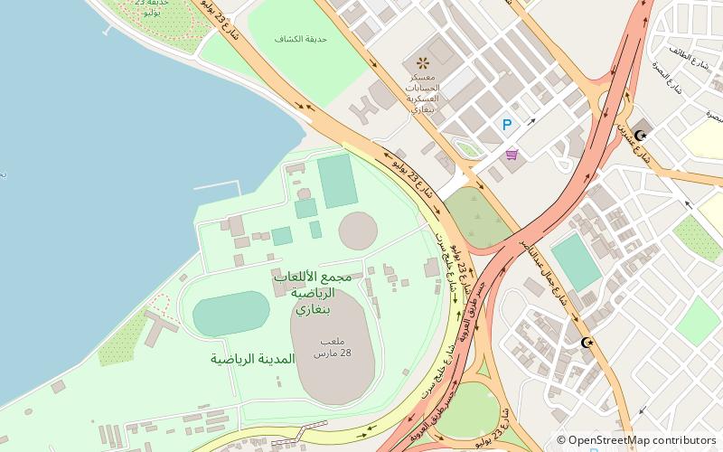
Map
Facts and practical information
Mfwdyt kshaf bnghazy is a place located in Benghazi (Benghazi district) and belongs to the category of sightseeing.
It is situated at an altitude of 20 feet, and its geographical coordinates are 32°7'13"N latitude and 20°5'12"E longitude.
Planning a visit to this place, one can easily and conveniently get there by public transportation. Mfwdyt kshaf bnghazy is a short distance from the following public transport stations: Benghazi University Bus Station (bus, 2 min walk).
Among other places and attractions worth visiting in the area are: Al-Iglaa' Park (zoo, 21 min walk), 24 hours public shopping Market (shopping, 26 min walk), Omar Al-Mukhtar Mosque msjd mr almkhtar (mosque, 26 min walk).
Coordinates: 32°7'13"N, 20°5'12"E
Address
Benghazi
ContactAdd
Social media
Add
Getting there by public transportation
Public transportation stops near this location
- Bus
 Bus
Bus
- Calculate routeBenghazi University Bus Station 2 min walk
- Calculate routeAlhadeka Bus Stop 4 min walk
- Calculate routeQuick transport 13 min walk
- Calculate routeBus Station 22 min walk
Day trips
Frequently Asked Questions (FAQ)
How to get to Mfwdyt kshaf bnghazy by public transport?
The nearest stations to Mfwdyt kshaf bnghazy:
Bus
Bus
- Benghazi University Bus Station (2 min walk)
- Alhadeka Bus Stop (4 min walk)