Vingis Park, Vilnius
Map

Map

Facts and practical information
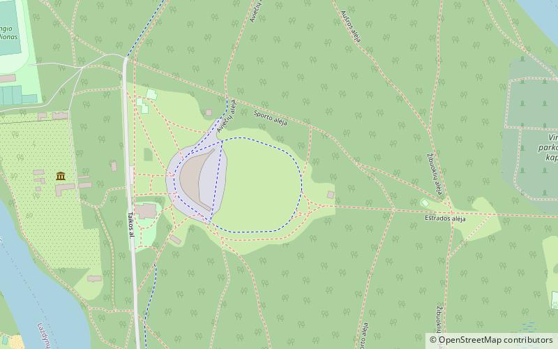
Vingis Park is the largest park in Vilnius, Lithuania. Located in a curve of the Neris River, it covers 162 hectares. A pedestrian bridge connects the park with Žvėrynas. It is used as a venue for various events, especially concerts and sports competitions. It contains a small botanical garden of Vilnius University, stadium, and an amphitheater. ()
Day trips
Vingis Park – popular in the area (distance from the attraction)
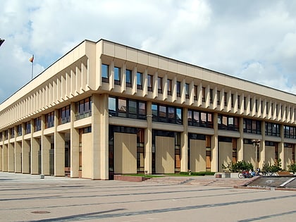
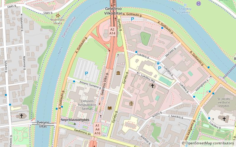
Nearby attractions include: Vilnius TV Tower, Seimas Palace, Church of Our Lady of the Sign, Church of St. Constantine and St. Michael.
Frequently Asked Questions (FAQ)
Which popular attractions are close to Vingis Park?
Nearby attractions include Vilniaus Šv. kankinės Kotrynos cerkvė, Vilnius (18 min walk), Vilniaus kenesa, Vilnius (20 min walk), Karoliniškės, Vilnius (22 min walk), Church of Our Lady of the Sign, Vilnius (24 min walk).
How to get to Vingis Park by public transport?
The nearest stations to Vingis Park:
Bus
Trolleybus
Bus
- Vinco Pietario st. • Lines: 24, 56 (17 min walk)
- Litexpo • Lines: 100, 200 (18 min walk)
Trolleybus
- Kęstučio st. • Lines: 1, 3, 7 (20 min walk)
- Savanorių prospektas • Lines: 12, 14, 15, 16, 4, 6 (20 min walk)


