Krokų Lanka
Map

Map

Facts and practical information
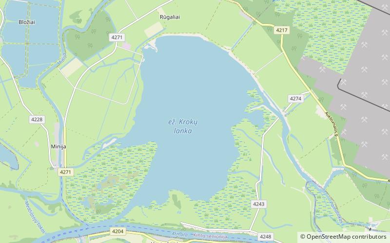
Krokų Lanka is the only lake of marine origin in Lithuania and the largest lake in the Šilutė District Municipality. It is located in the Nemunas Delta Regional Park on the Baltic Sea shore near Nemunas Delta and Ventė Cape. It covers a territory of 788 ha. Aukštumala bog, covering 3018 ha and used for peat production since 1882, is located just north of the lake and Mingė village is located on the western bank. In the south a narrow strip of water connects the lake with Atmata, a branch of the Neman River. ()
Alternative names: Length: 2.55 miWidth: 2.05 miMaximum depth: 8 ftElevation: 0 ft a.s.l.Coordinates: 55°22'3"N, 21°19'51"E
Location
Klaipedos
ContactAdd
Social media
Add
Day trips
Krokų Lanka – popular in the area (distance from the attraction)
Nearby attractions include: Uostadvaris Lighthouse, Šilutės dvaro rūmai, Šilutės evangelikų liuteronų bažnyčia, Rusnė.


