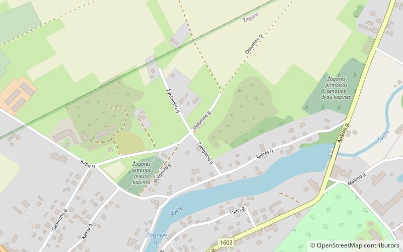
Žagarės senosios miesto kapinės

Gallery (1)
Map
Map
Facts and practical information
Žagarės senosios miesto kapinės is a place located in Lithuania and belongs to the category of cemetery.
It is situated at an altitude of 207 feet, and its geographical coordinates are 56°21'54"N latitude and 23°15'26"E longitude.
Among other places and attractions worth visiting in the area are: Žagarė Manor (manor house, 10 min walk), Žagarė (locality, 11 min walk).
Coordinates: 56°21'54"N, 23°15'26"E
Location
Šiauliai
ContactAdd
Social media
Add
Day trips
Žagarės senosios miesto kapinės – popular in the area (distance from the attraction)
Nearby attractions include: Žagarė Manor, Žagarė.

