Karmazinai mound

Gallery (1)
Map
Map
Facts and practical information
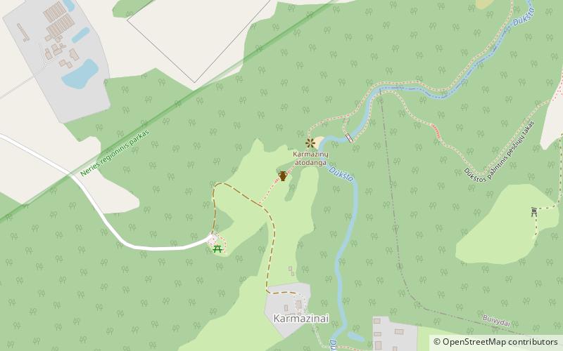
The Karmazinai mound is a burial mound and hill fort in Vilnius district municipality, Lithuania. It is situated by : N54°49'09.4"; E24°55'52.1", about 0.8 km northwest of the Karmazinai village, 40 m from the right bank of the Dūkšta River, close to its confluence with Neris. ()
Local name: Karmazinų piliakalnisCoordinates: 54°49'9"N, 24°55'52"E
Day trips


