Metelys
Map

Map

Facts and practical information
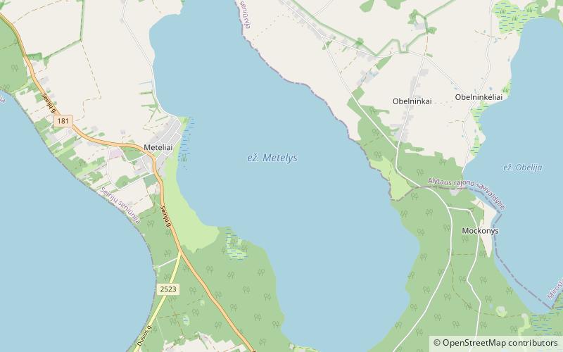
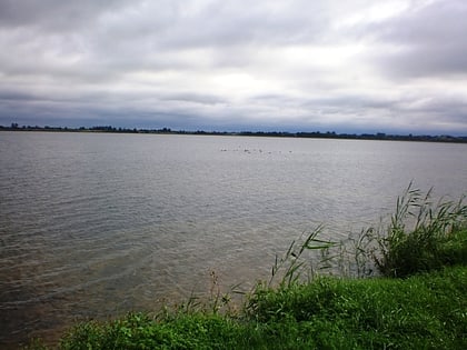
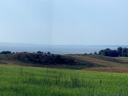
Lake Metelys is located in southern Lithuania's Alytus County. The lake, covering 1,292 hectares, has a maximum depth of 15 metres. It lies with the boundaries of Meteliai Regional Park. Lake Metelys formed from melted ice lump. ()
Alternative names: Area: 4.98 mi²Maximum depth: 49 ftElevation: 335 ft a.s.l.Coordinates: 54°17'48"N, 23°46'17"E
Location
Alytaus
ContactAdd
Social media
Add
Day trips
Metelys – popular in the area (distance from the attraction)
Nearby attractions include: Dusia, Meteliai Regional Park.


