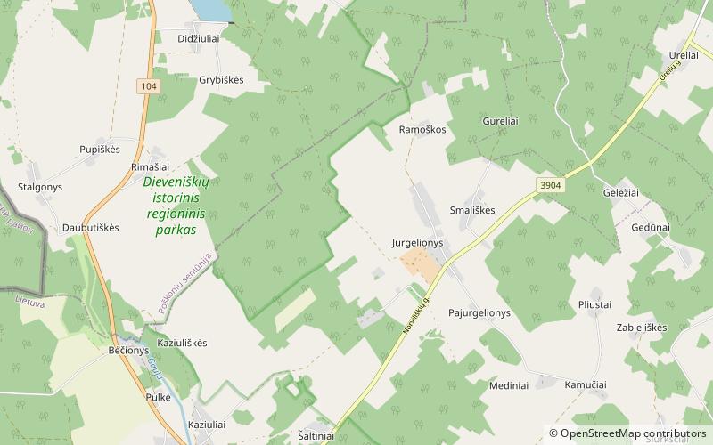
Dieveniškės Regional Park

Map
Facts and practical information
Dieveniškės Regional Park, established in 1992, covers 11,000 hectares in southeastern Lithuania near the city of Šalčininkai. Its natural and cultural features include Bėčionys castle mound, the Norviliškės monastery complex, and geologic formations. Much of the village of Dieveniškės lies within its territory. ()
Local name: Dieveniškių istorinis regioninis parkas Elevation: 650 ft a.s.l.Coordinates: 54°13'60"N, 25°39'0"E
Location
Vilniaus
ContactAdd
Social media
Add
Day trips
Dieveniškės Regional Park – popular in the area (distance from the attraction)
Nearby attractions include: Norviliškės Castle, Grybiškių ąžuolas, Grybiškių pušis.


