Paparčių vienuolynas

Gallery (1)
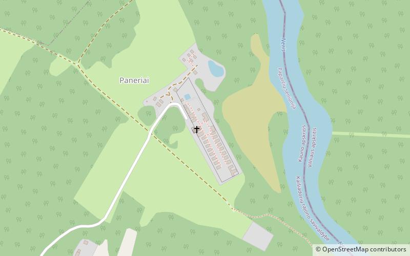
Map
Map
Facts and practical information
Paparčių vienuolynas is a place located in Lithuania and belongs to the category of church.
It is situated at an altitude of 223 feet, and its geographical coordinates are 54°55'22"N latitude and 24°45'27"E longitude.
Among other places and attractions worth visiting in the area are: Čiobiškis Manor (manor house, 116 min walk), Kernavė (unesco, 117 min walk).
Coordinates: 54°55'22"N, 24°45'27"E
Location
Kauno
ContactAdd
Social media
Add
Day trips

