Trek Zone

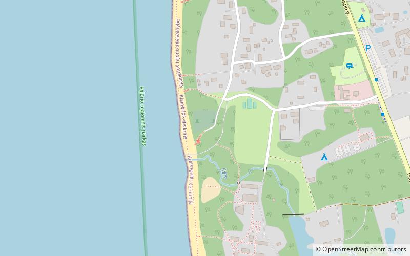
Karklės kapinės, Seaside Regional Park

#3 among attractions in Seaside Regional Park

Resort, Cemetery
Karklės kapinės

Facts and practical information

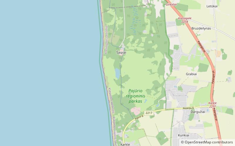
Karklės kapinės is a place located in Seaside Regional Park (Klaipedos county) and belongs to the category of resort, cemetery.

It is situated at an altitude of 13 feet, and its geographical coordinates are 55°48'26"N latitude and 21°4'0"E longitude.

Among other places and attractions worth visiting in the area are: The Dutchman's Cap (nature, 16 min walk), Plocis (nature, 50 min walk), National Golf Resort Golf Club (golf, 114 min walk).

Coordinates: 55°48'26"N, 21°4'0"E
Address

Seaside Regional Park Lithuania

ContactAdd
Social media
Add

Seaside Regional Park plan & book

Unleash the traveler in you — discover the cheapest flight deals, find the perfect hotel or hostel nearby, and search for the best car rental prices. Travel at your own pace to discover new places and enjoy your journey.

Day trips

Karklės kapinės – popular in the area (distance from the attraction)

Nearby attractions include: The Dutchman's Cap, National Golf Resort Golf Club, Klaipėda Lighthouse, Plocis.

  • olando kepure seaside regional park0.6 miS
  • national golf resort golf club location map
    4.5 miE
  • klaipeda lighthouse5.6 miS
  • lake plaze seaside regional park location map
    1.9 miN
  • lcc international university klaipeda5.9 miSE
  • klaipedos centrinis stadionas klaipeda5.8 miS

Where to next? Visit klaipedos Klaipedos region page or discover the top tourist attractions in Lithuania.