Dubingių tiltas

Gallery (1)
Map
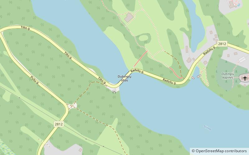
Map
Facts and practical information
Dubingių tiltas is a place located in Lithuania and belongs to the category of bridge.
It is situated at an altitude of 456 feet, and its geographical coordinates are 55°3'26"N latitude and 25°26'37"E longitude.
Among other places and attractions worth visiting in the area are: Dubingiai Castle (forts and castles, 1 min walk), Asveja Regional Park (park, 88 min walk), Asveja (nature, 108 min walk).
Coordinates: 55°3'26"N, 25°26'37"E
Location
Utenos
ContactAdd
Social media
Add
Day trips