Kalnai, Vilnius
Map

Gallery

Facts and practical information
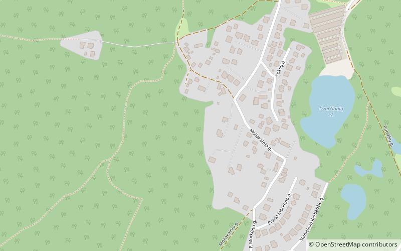
Kalnai is a neighborhood of Vilnius located in the Antakalnis Eldership. It is situated northeast from the city center and southwest from Dvarčionys. ()
Coordinates: 54°43'26"N, 25°21'58"E
Address
AntakalnisVilnius
ContactAdd
Social media
Add
Day trips
Kalnai – popular in the area (distance from the attraction)
Nearby attractions include: Church of St. Peter and St. Paul, Vileišis Palace, Antakalnis Cemetery, Sapieha Palace.
Frequently Asked Questions (FAQ)
How to get to Kalnai by public transport?
The nearest stations to Kalnai:
Bus
Trolleybus
Bus
- Stepono Kairio st. • Lines: 114 (7 min walk)
- Stanislovo Kerbedžio st. • Lines: 114 (10 min walk)
Trolleybus
- Senoji plytinė • Lines: 10, 14, 19, 2 (27 min walk)


