Neris Regional Park, Vilnius
Map

Map

Facts and practical information
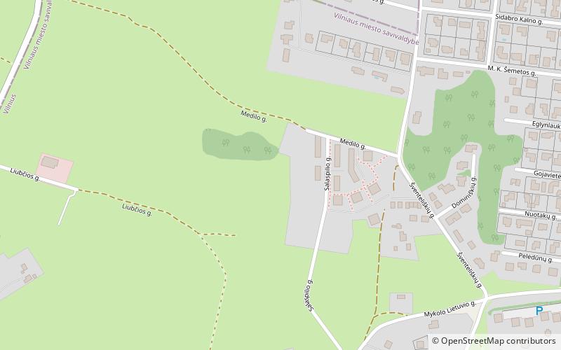
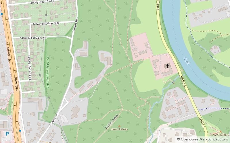
Neris Regional Park covers about 10,000 hectares in Lithuania. Its territory lies within the Vilnius district municipality, the Trakai district municipality, and the Elektrėnai municipality. Portions of the park are privately owned. ()
Day trips
Neris Regional Park – popular in the area (distance from the attraction)
Nearby attractions include: Vichy vandens parkas, Verkiai Palace, Akropolis, Church of the Discovery of the Holy Cross.
Frequently Asked Questions (FAQ)
How to get to Neris Regional Park by public transport?
The nearest stations to Neris Regional Park:
Bus
Trolleybus
Bus
- Riaubonių st. • Lines: 57 (11 min walk)
- Šaulio st. • Lines: 57 (12 min walk)
Trolleybus
- Skalvių st. • Lines: 13, 18, 7 (31 min walk)


