Verkiai, Vilnius
Map

Map

Facts and practical information
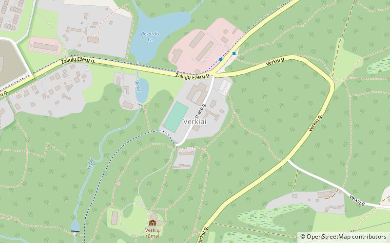
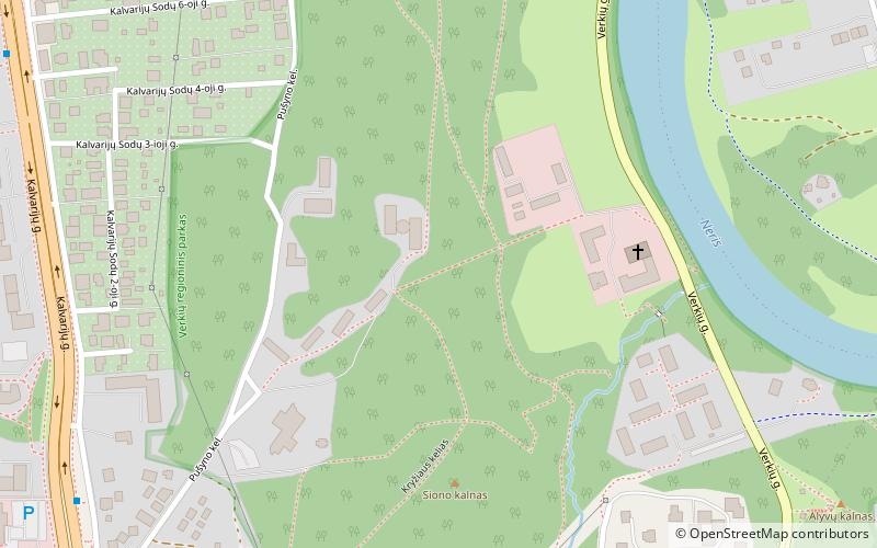
Verkiai is the northernmost eldership in Vilnius, Lithuania. It covers neighborhoods of Baltupiai, Jeruzalė, Visoriai, Santariškės, Balsiai, Ožkiniai, Didieji Gulbinai and the whole area of Verkiai Regional Park. Historically it was a separate settlement situated north of Vilnius but today it is a part of Vilnius city municipality. It occupies 5,565 ha and has 42,179 inhabitants. Verkiai Regional Park has been established in 1991 to preserve a valuable composition of historical, cultural, architectural, and nature landmarks. ()
Address
VerkiaiVilnius
ContactAdd
Social media
Add
Day trips
Verkiai – popular in the area (distance from the attraction)
Nearby attractions include: Vichy vandens parkas, Verkiai Palace, Akropolis, Jeep Arena.
Frequently Asked Questions (FAQ)
Which popular attractions are close to Verkiai?
Nearby attractions include Verkiai Palace, Vilnius (7 min walk), Church of the Discovery of the Holy Cross, Vilnius (24 min walk).
How to get to Verkiai by public transport?
The nearest stations to Verkiai:
Bus
Bus
- Verkių rūmai • Lines: 35, 36, 66, 76 (4 min walk)
- Petro Baublio st. • Lines: 35, 36, 66, 76 (11 min walk)


