Villa Pauly, Luxembourg
Map
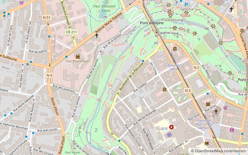
Map

Facts and practical information
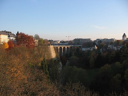
The Villa Pauly was built in 1923 at No. 57, Boulevard de la Pétrusse, in the center of Luxembourg, for the surgeon Dr. Norbert Pauly; the architect was Mathias Martin. With its corner towers, the house mimics the castle architecture of the Late Middle Ages and the Renaissance. Initially Dr Pauly housed his practice in the basement of the building. ()
Coordinates: 49°36'22"N, 6°7'30"E
Address
HollerichLuxembourg
ContactAdd
Social media
Add
Day trips
Villa Pauly – popular in the area (distance from the attraction)
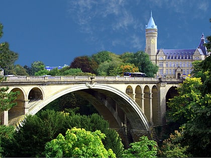
Nearby attractions include: Gëlle Fra, Notre-Dame Cathedral, Adolphe Bridge, Casino Luxembourg.
Frequently Asked Questions (FAQ)
Which popular attractions are close to Villa Pauly?
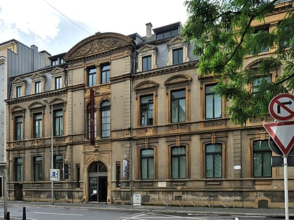
Nearby attractions include Am Tunnel, Luxembourg (4 min walk), Bank Museum, Luxembourg (5 min walk), Place des Martyrs, Luxembourg (5 min walk), Adolphe Bridge, Luxembourg (5 min walk).
How to get to Villa Pauly by public transport?
The nearest stations to Villa Pauly:
Bus
Tram
Train
Bus
- Sainte-Zithe • Lines: 19 (2 min walk)
- Michel Rodange • Lines: 19 (6 min walk)
Tram
- Luxembourg, Place de Metz • Lines: T1 (5 min walk)
Train
- Luxembourg Central Station (15 min walk)
- Hollerich (20 min walk)


