Rives de Clausen, Luxembourg

Facts and practical information
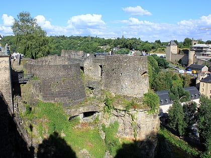
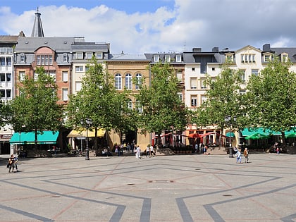
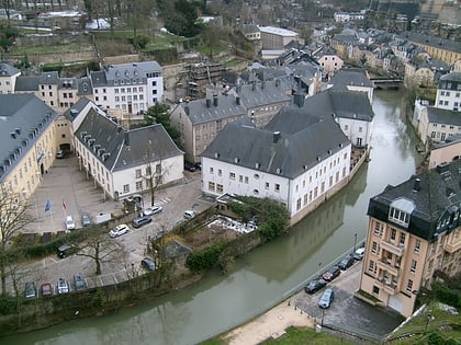
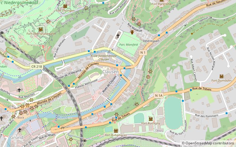
Rives de Clausen (address: Rives de Clausen) is a place located in Luxembourg (Luxembourg district) and belongs to the category of square.
It is situated at an altitude of 804 feet, and its geographical coordinates are 49°36'48"N latitude and 6°8'36"E longitude.
Planning a visit to this place, one can easily and conveniently get there by public transportation. Rives de Clausen is a short distance from the following public transport stations: Clausen, Clausener Bréck (bus, 1 min walk), Kirchberg, Philharmonie - MUDAM (tram, 12 min walk), Rout Bréck-Pafendall (train, 13 min walk).
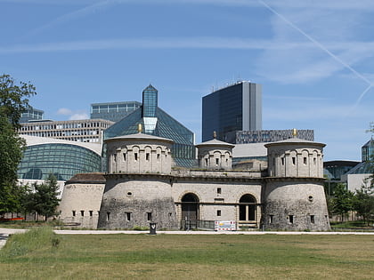
Among other places and attractions worth visiting in the area are: La Fontaine Castle (park, 3 min walk), Clausen German war cemetery (cemetery, 5 min walk), Fort Thüngen (unesco, 8 min walk).
Rives de ClausenGrundLuxembourg 2165
Rives de Clausen – popular in the area (distance from the attraction)
Nearby attractions include: Bock, Grand Ducal Palace, Grand Duke Jean Museum of Modern Art, National Museum of History and Art.
Frequently Asked Questions (FAQ)
Which popular attractions are close to Rives de Clausen?
How to get to Rives de Clausen by public transport?
Bus
- Clausen, Clausener Bréck • Lines: 14, 15, 23, 9, Cn1, NLB Betzdorf, NLB Biwer-Manternach, NLB Contern, NLB Dudelange, NLB Flaxweiler, NLB Grevenmacher, NLB Niederanven, NLB Remich, NLB Schengen, NLB Schuttrange, NLB Walfer-Steinsel-Lorentzweiler, NLB Wormeldange, Nrc (1 min walk)
- Tour Jacob • Lines: 14, 15, 23, Cn1 (3 min walk)
Tram
- Kirchberg, Philharmonie - MUDAM • Lines: T1 (12 min walk)
- Luxembourg, Hamilius • Lines: T1 (20 min walk)
Train
- Rout Bréck-Pafendall (13 min walk)
- Pfaffenthal-Kirchberg (16 min walk)

