Ville Haute, Luxembourg
Map
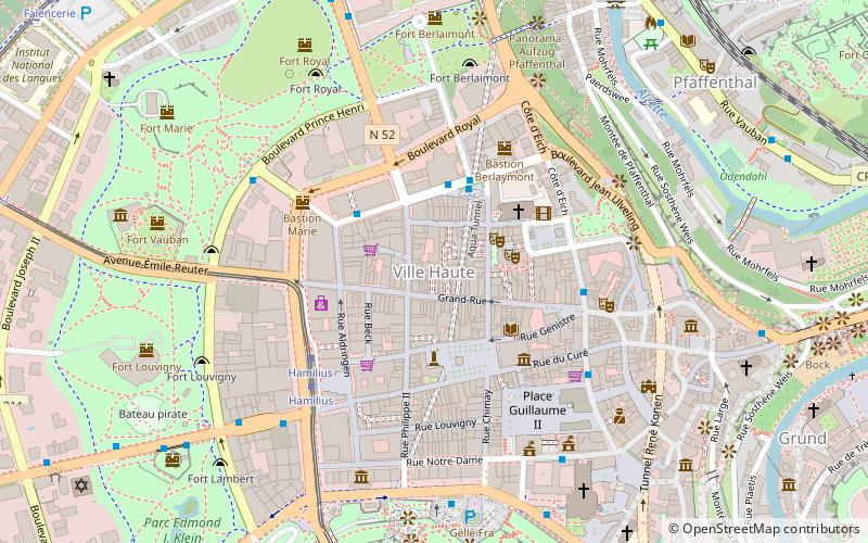
Map

Facts and practical information
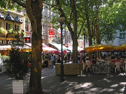
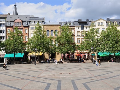
Ville Haute is a quarter in central Luxembourg City, in southern Luxembourg. It is the historic center of Luxembourg City and is involved in its UNESCO World Heritage Site status. As of 31 December 2019, Ville Haute has a population of 3,413 inhabitants. ()
Day trips
Ville Haute – popular in the area (distance from the attraction)
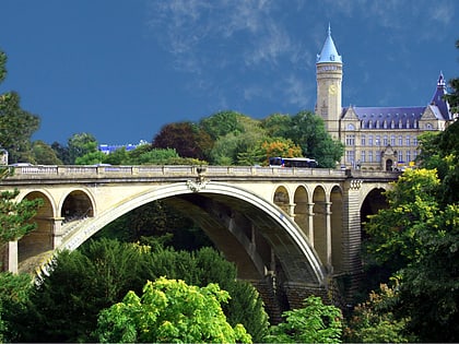
Nearby attractions include: Grand Ducal Palace, Gëlle Fra, Notre-Dame Cathedral, Adolphe Bridge.
Frequently Asked Questions (FAQ)
Which popular attractions are close to Ville Haute?
Nearby attractions include Luxembourg Stock Exchange, Luxembourg (1 min walk), Galerie Miltgen, Luxembourg (2 min walk), Théâtre des Capucins, Luxembourg (2 min walk), Place d'Armes, Luxembourg (3 min walk).
How to get to Ville Haute by public transport?
The nearest stations to Ville Haute:
Bus
Tram
Train
Bus
- Centre, Badanstalt • Lines: 10, 100, 11, 14, 15, 19, 290, 30, 31, 32, 9, Cn1, Cn6, Csb, NLB Betzdorf, NLB Biwer-Manternach, NLB Contern, NLB Dudelange, NLB Flaxweiler, NLB Grevenmacher, NLB Niederanven, NLB Remich, NLB Schengen, NLB Schuttrange, NLB Walfer-Steinsel-Lorentzweiler, NLB Wormeldange, Nrc (3 min walk)
- Centre, Forum Royal • Lines: Csb (3 min walk)
Tram
- Luxembourg, Hamilius • Lines: T1 (4 min walk)
- Centre, Stäreplaz / Étoile • Lines: T1 (11 min walk)
Train
- Pfaffenthal-Kirchberg (13 min walk)
- Rout Bréck-Pafendall (15 min walk)


