Municipal Park, Luxembourg
Map
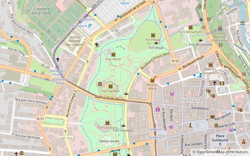
Map

Facts and practical information
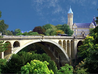
The Municipal Park is a public urban park in Luxembourg City, in southern Luxembourg. The eastern edge flanks the boulevard du Prince Henri and, along with the valleys of the Alzette and Pétrusse, forms a boundary that separates the central Ville Haute quarter from the rest of the city. ()
Local name: Parc municipal Area: 49.42 acres (0.0772 mi²)Elevation: 1020 ft a.s.l.Coordinates: 49°36'48"N, 6°7'27"E
Address
Ville-HauteLuxembourg
ContactAdd
Social media
Add
Day trips
Municipal Park – popular in the area (distance from the attraction)
Nearby attractions include: Grand Ducal Palace, Gëlle Fra, Stade Josy Barthel, Notre-Dame Cathedral.
Frequently Asked Questions (FAQ)
Which popular attractions are close to Municipal Park?
Nearby attractions include Villa Vauban, Luxembourg (2 min walk), Boulevard Royal, Luxembourg (3 min walk), Villa Louvigny, Luxembourg (4 min walk), Luxembourg Stock Exchange, Luxembourg (5 min walk).
How to get to Municipal Park by public transport?
The nearest stations to Municipal Park:
Bus
Tram
Train
Bus
- Luxembourg, Amélie • Lines: 12, 151, Cn5, Cn7, NLB Betzdorf, NLB Biwer-Manternach, NLB Contern, NLB Flaxweiler, NLB Grevenmacher, NLB Niederanven, NLB Remich, NLB Schengen, NLB Schuttrange, NLB Walfer-Steinsel-Lorentzweiler, NLB Wormeldange (2 min walk)
- Centre, Forum Royal • Lines: Csb (4 min walk)
Tram
- Luxembourg, Hamilius • Lines: T1 (5 min walk)
- Centre, Stäreplaz / Étoile • Lines: T1 (6 min walk)
Train
- Pfaffenthal-Kirchberg (14 min walk)
- Rout Bréck-Pafendall (17 min walk)


