Place des Martyrs, Luxembourg
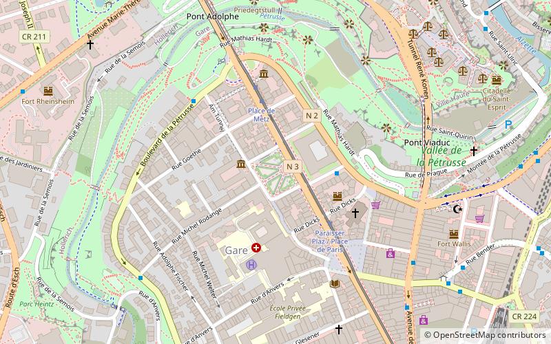
Map
Gallery
Facts and practical information
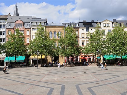
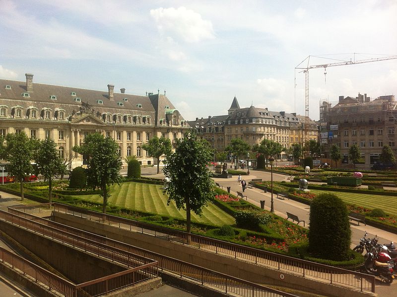
The Place des Martyrs is a garden square in Luxembourg City, in southern Luxembourg. The square lies to the south of the Pétrusse valley, in the quarter of Gare. It is colloquially known as the Rose Garden, on account of the red roses that dominate the garden's floriculture. ()
Local name: RousegäertchenCoordinates: 49°36'19"N, 6°7'44"E
Address
Place des Martyrs, 1130 LuxembourgGare de LuxembourgLuxembourg
ContactAdd
Social media
Add
Day trips
Place des Martyrs – popular in the area (distance from the attraction)
Nearby attractions include: Gëlle Fra, Notre-Dame Cathedral, Adolphe Bridge, Casino Luxembourg.
Frequently Asked Questions (FAQ)
Which popular attractions are close to Place des Martyrs?
Nearby attractions include Am Tunnel, Luxembourg (3 min walk), Paroisse du Sacre-Coeur, Luxembourg (3 min walk), Gare, Luxembourg (4 min walk), Avenue de la Liberté, Luxembourg (4 min walk).
How to get to Place des Martyrs by public transport?
The nearest stations to Place des Martyrs:
Bus
Tram
Train
Bus
- Luxembourg, Rue Heine • Lines: 161, 972 (3 min walk)
- Sainte-Zithe • Lines: 19 (4 min walk)
Tram
- Luxembourg, Place de Metz • Lines: T1 (3 min walk)
Train
- Luxembourg Central Station (12 min walk)
- Hollerich (20 min walk)


