Grünewald
Map
Map

Facts and practical information
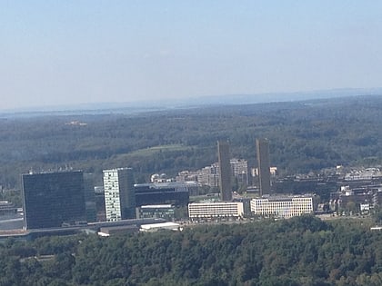
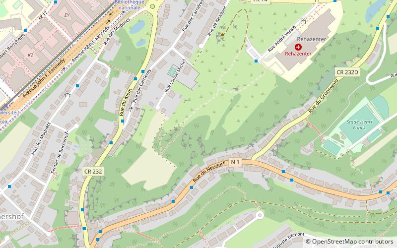
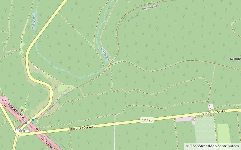
The Grünewald is a forest in central Luxembourg, most of which is owned by the national government. Grünewald stretches through the communes of Niederanven, Steinsel, and Walferdange; the centre of the forest is situated 6 kilometres north-east of central Luxembourg City. As a result of its proximity to Luxembourg's capital city, it is a popular destination for tourism, leisure, and hospitality. Within the Grünewald are the sources of the Black Ernz and the White Ernz. ()
Location
Luxembourg
ContactAdd
Social media
Add
Day trips
Grünewald – popular in the area (distance from the attraction)
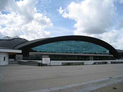
Nearby attractions include: D'Coque, Utopolis Kirchberg, Syrdall Schwemm, Walferdange Castle.

