Bonnevoie, Luxembourg
Map
Map

Facts and practical information
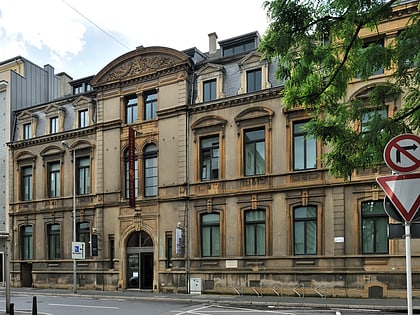
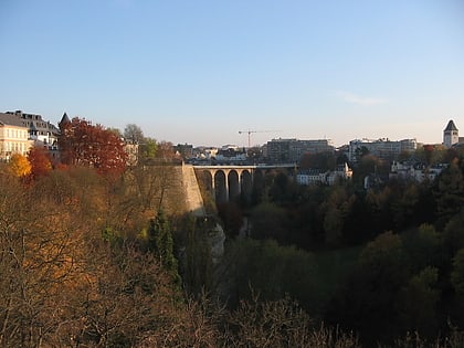
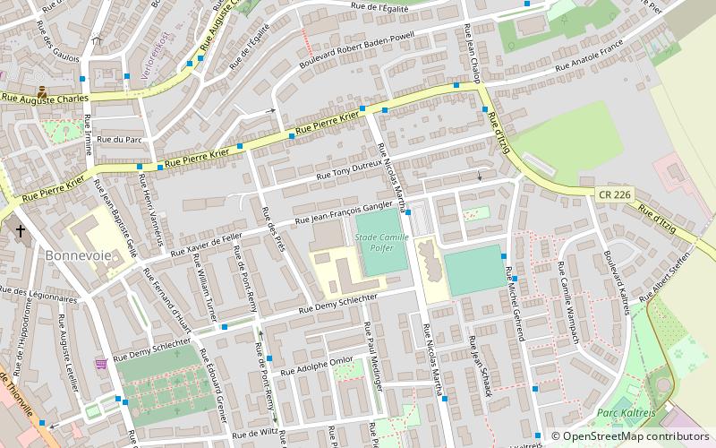
Bonnevoie is an area of south-eastern Luxembourg City, in southern Luxembourg. It is divided between the quarters of North Bonnevoie-Verlorenkost and South Bonnevoie. It is the biggest neighbourhood in the city, with more than 15,000 inhabitants. ()
Address
Bonnevoie-SudLuxembourg
ContactAdd
Social media
Add
Day trips
Bonnevoie – popular in the area (distance from the attraction)
Nearby attractions include: Notre-Dame Cathedral, Casino Luxembourg, Place d'Armes, Place Guillaume II.
Frequently Asked Questions (FAQ)
Which popular attractions are close to Bonnevoie?
Nearby attractions include South Bonnevoie, Luxembourg (8 min walk), Liberty Road, Luxembourg (17 min walk), Musée de la Police Grand-Ducale, Luxembourg (19 min walk), Chapelle Saint-Quirin, Luxembourg (21 min walk).
How to get to Bonnevoie by public transport?
The nearest stations to Bonnevoie:
Bus
Train
Tram
Bus
- Bonnevoie, Jeanne d'Arc • Lines: Cn3 (2 min walk)
- Bonnevoie, Jean Jacoby • Lines: 2, 461, 7 (4 min walk)
Train
- Luxembourg Central Station (16 min walk)
- Hollerich (30 min walk)
Tram
- Luxembourg, Gare Centrale • Lines: T1 (17 min walk)


