Widdebierg, Roodt-sur-Syre

Gallery (1)
Map
Map
Facts and practical information
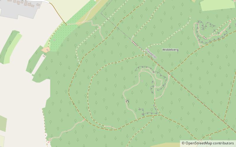
Widdebierg is a hill in the commune of Betzdorf, in eastern Luxembourg. At 386 metres, it is one of the highest points in the canton of Grevenmacher. It is in the centre of a nature reserve, which lies between the towns of Flaxweiler, Mensdorf, and Roodt-sur-Syre. ()
Coordinates: 49°39'43"N, 6°18'54"E
Address
Roodt-sur-Syre
ContactAdd
Social media
Add
Day trips