Upper Sûre National Park
Map

Map

Facts and practical information
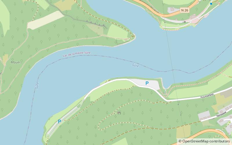
The Upper Sûre Natural Park is a national park in north-western Luxembourg. Located in the Oesling region, the park is primarily an area of conservation and a specially protected area for wild birds. ()
Local name: Naturpark Uewersauer Area: 77.84 mi²Elevation: 1070 ft a.s.l.Coordinates: 49°54'7"N, 5°52'19"E
Location
Diekirch
ContactAdd
Social media
Add
Day trips
Upper Sûre National Park – popular in the area (distance from the attraction)
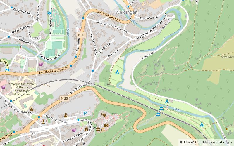
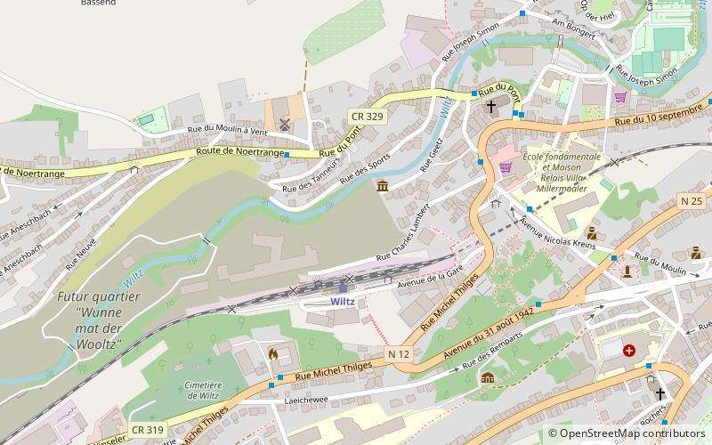
Nearby attractions include: Esch-sur-Sûre Castle, Wiltz Castle, Upper Sûre Lake, Napoléonsgaard.


