Andohahela National Park
Map

Map

Facts and practical information
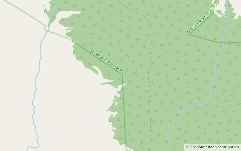
Andohahela National Park, in south-east Madagascar, is remarkable for the extremes of habitats that are represented within it. The park covers 760 km2 of the Anosy mountain range, the southernmost spur of the Malagasy Highlands and contains the last humid rainforests in the southern part of Madagascar. ()
Alternative names: Established: 1998 (28 years ago)Unesco: from 2013Area: 293.44 mi²Elevation: 2802 ft a.s.l.Coordinates: 24°44'29"S, 46°44'1"E
Location
Toliary
ContactAdd
Social media
Add
Best Ways to Experience the Park
Wildlife
AnimalsSee what popular animal species you can meet in this location.
More
Show more


