Ankarana Reserve
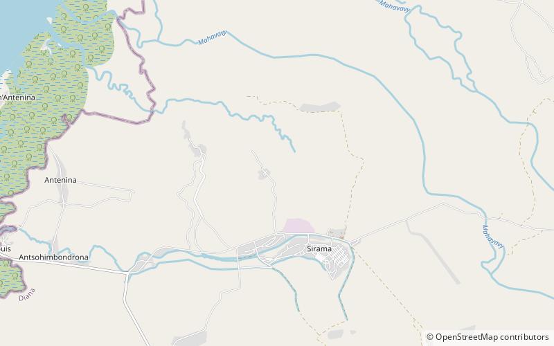
Map

Map

Facts and practical information
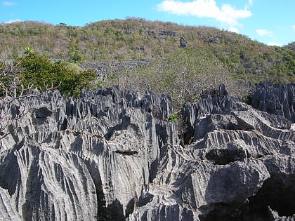
Ankarana Special Reserve in northern Madagascar was created in 1956. It is a small, partially vegetated plateau composed of 150-million-year-old middle Jurassic limestone. With an average annual rainfall of about 2,000 millimetres, the underlying rocks have been eroded to produce caves and feed subterranean rivers—a karst topography. The rugged relief and the dense vegetation have helped protect the region from human intrusion. ()
Alternative names: Established: 1956 (70 years ago)Elevation: 39 ft a.s.l.Coordinates: 13°4'22"S, 48°54'53"E
Location
Antsiranana
ContactAdd
Social media
Add
Best Ways to Experience the Park
Wildlife
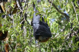
AnimalsSee what popular animal species you can meet in this location.
More
Show more


