Masoala National Park

Facts and practical information
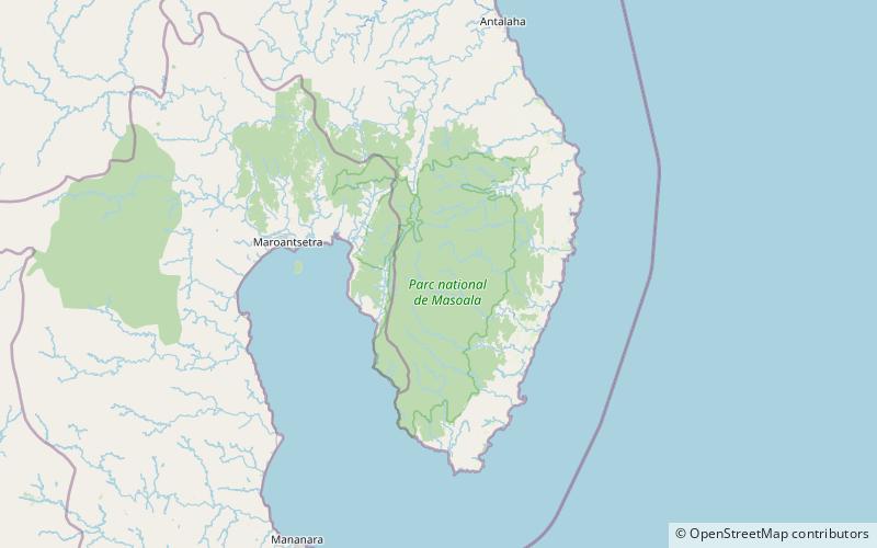
Masoala National Park, in northeast Madagascar, is the largest of the island's protected areas. Most of the park is situated in Sava Region and a part in Analanjirofo. Created in 1997, the park protects 2,300 square kilometres of rainforest and 100 square kilometres of marine parks. The Masoala peninsula is exceptionally diverse due to its large size, and variety of habitats. Altogether, the park protects tropical rainforest, coastal forest, flooded forest, marsh, and mangrove. Three marine parks protect coral reefs and a dazzling array of marine life. ()
Best Ways to Experience the Park
Wildlife
AnimalsSee what popular animal species you can meet in this location.
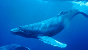
Humpback whale
The humpback whale is one of the most captivating creatures of the sea, easily recognized by its unique body shape, impressive breaching behavior, and intricate songs sung by males. These magnificent whales can grow up to 16 meters (about 52 feet) in length and weigh...
Mammals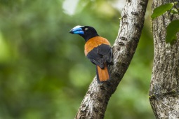
Helmet vanga
The helmet vanga is a visually striking bird endemic to Madagascar. It is easily recognized by its blue-black plumage, rufous wings, and large, curved blue bill. Inhabiting the lowland and lower montane rainforests of northeastern Madagascar, this bird primarily feeds...
Birds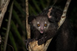
Aye-aye
The aye-aye is a unique lemur native to Madagascar, known as the largest nocturnal primate in the world. It is famous for its distinctive method of foraging: tapping on trees with its extremely slender middle finger to locate grubs, which it then extracts.
Mammals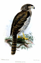
Madagascan serpent eagle
The Madagascan serpent eagle is a captivating bird of prey belonging to the Accipitridae family and is the sole species in its genus, Eutriorchis. This distinctive raptor is found solely in Madagascar, inhabiting the island's lush, moist lowland forests.
Birds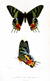
Chrysiridia rhipheus
The Madagascan sunset moth, scientifically known as Chrysiridia rhipheus, is a dazzling and colorful day-flying moth in the Uraniidae family. This captivating insect is highly sought after by collectors and is frequently featured in publications about Lepidoptera.
Insects