Zombitse-Vohibasia National Park
Map
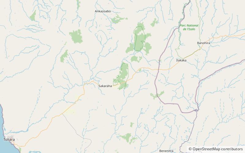
Map

Facts and practical information
Zombitse-Vohibasia is a national park in the Atsimo-Andrefana region of south-west Madagascar. It is 147 kilometres north-east of the town of Toliara, the site of the nearest airport, and the Welcome Office is at Sakaraha 10 kilometres from the park entrance. The park covers a surface of 36,308 hectares on three sites; the forest of Zombitse and the sites of Isoky Vohimena and Vohibasia. The Bara people and Mahafaly people are the main ethnic groups in the area. ()
Alternative names: Established: 2002 (24 years ago)Elevation: 2270 ft a.s.l.Coordinates: 22°50'1"S, 44°41'14"E
Location
Toliary
ContactAdd
Social media
Add
Best Ways to Experience the Park
Wildlife
AnimalsSee what popular animal species you can meet in this location.
More
Show more

