Chapaluka Falls, Mulanje Mountain Forest Reserve
Map
Facts and practical information
Chapaluka Falls is a place located in Mulanje Mountain Forest Reserve (Mulanje district) and belongs to the category of sightseeing.
It is situated at an altitude of 4252 feet, and its geographical coordinates are 15°56'4"S latitude and 35°31'54"E longitude.
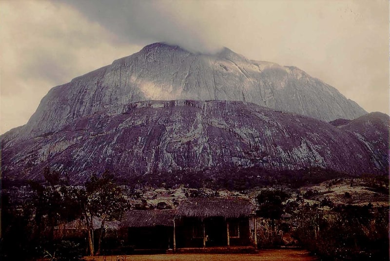
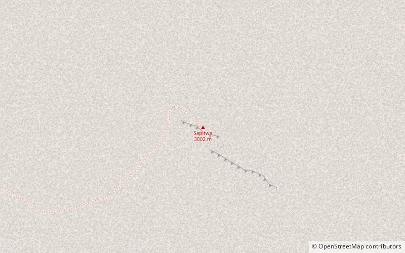
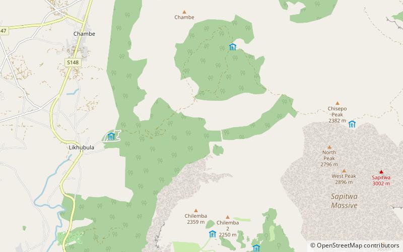
Among other places and attractions worth visiting in the area are: Dziwe wa Nkalamba Waterfall (natural attraction, 21 min walk), Chambe Peak (nature, 67 min walk), Sapitwa, Mount Mulanje (natural attraction, 107 min walk).
Coordinates: 15°56'4"S, 35°31'54"E
Address
Mulanje Mountain Forest Reserve
ContactAdd
Social media
Add
Day trips