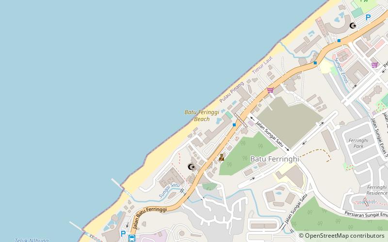
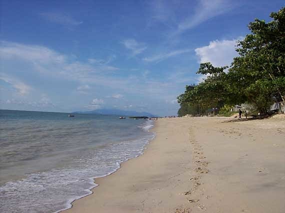
Batu Feringgi Beach, George Town
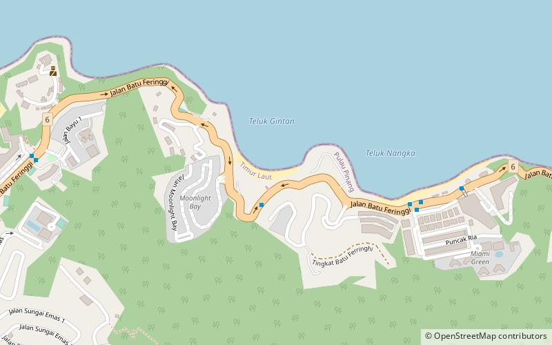
Map
Facts and practical information
Batu Feringgi Beach is a place located in George Town (Pulau Pinang state) and belongs to the category of beach.
It is situated at an altitude of 26 feet, and its geographical coordinates are 5°28'21"N latitude and 100°14'42"E longitude.
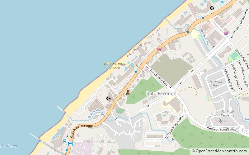
Planning a visit to this place, one can easily and conveniently get there by public transportation. Batu Feringgi Beach is a short distance from the following public transport stations: hop on hop off stop 18 hardrock (bus, 11 min walk).
Among other places and attractions worth visiting in the area are: Yahong Art Gallery (museum, 3 min walk), Batu Ferringhi (town, 12 min walk), Lovers' Isle (island, 20 min walk).
Coordinates: 5°28'21"N, 100°14'42"E
Address
George Town
ContactAdd
Social media
Add
Getting there by public transportation
Public transportation stops near this location
- Bus
 Bus
Bus
- Calculate routehop on hop off stop 18 hardrock 11 min walk
Day trips

Frequently Asked Questions (FAQ)
Which popular attractions are close to Batu Feringgi Beach?
Nearby attractions include Yahong Art Gallery, George Town (3 min walk), Batu Ferringhi, George Town (12 min walk).
How to get to Batu Feringgi Beach by public transport?
The nearest stations to Batu Feringgi Beach:
Bus
Bus
- hop on hop off stop 18 hardrock (11 min walk)