Cheras War Cemetery, Kuala Lumpur
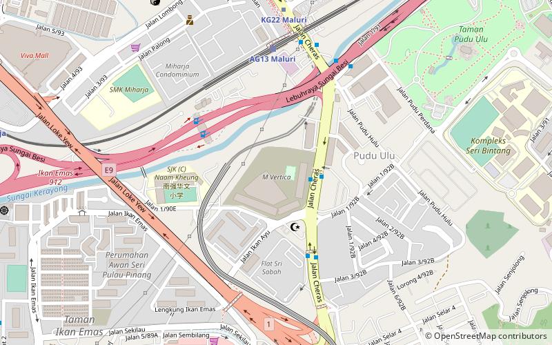
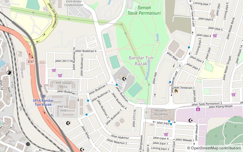
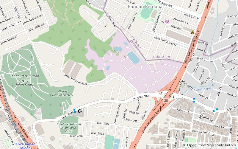
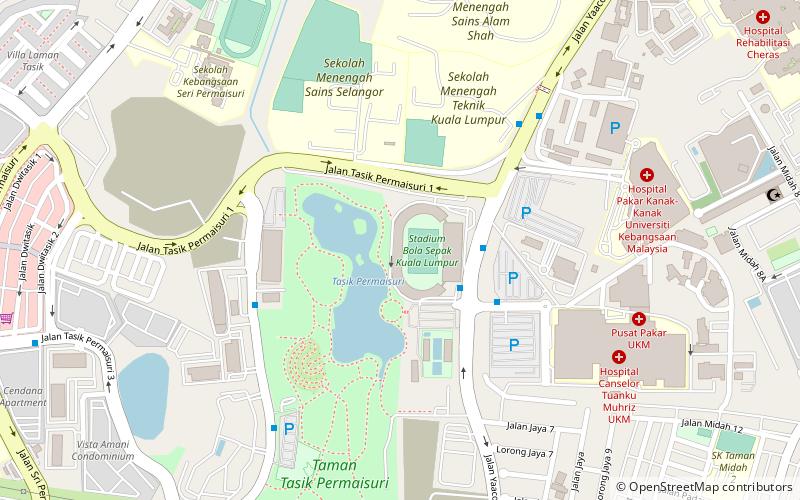
Map
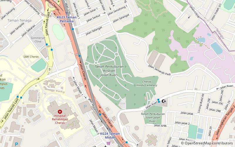
Map

Facts and practical information
The Cheras War Cemetery is the final resting place for Allied personnel who were killed during World War II, particularly the Malayan Campaign and the Japanese occupation of Malaya. Servicemen who died after the war or during their posting in northern Malaya prior to the Malayan Emergency are also interred here. ()
Coordinates: 3°6'30"N, 101°43'59"E
Day trips
Cheras War Cemetery – popular in the area (distance from the attraction)
Nearby attractions include: Badminton, Saidina Uthman Bin Affan Mosque, Cheras Christian Cemetery, KLFA Stadium.
Frequently Asked Questions (FAQ)
How to get to Cheras War Cemetery by public transport?
The nearest stations to Cheras War Cemetery:
Bus
Metro
Light rail
Bus
- Taman Midah Pintu A • Lines: 450, T305, T402 (6 min walk)
- Madrasatul Islamiah • Lines: T305 (7 min walk)
Metro
- Taman Midah • Lines: 9 (8 min walk)
- Taman Pertama • Lines: 9 (10 min walk)
Light rail
- Maluri • Lines: Ag (29 min walk)
- Miharja • Lines: Ag (35 min walk)

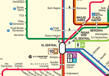 Rapid KL